// Travel log · Baglung, Nepal
Dhorpatan
Five of us, one night bus, and four hours of mud road into the country's only hunting reserve. Ponchos to four thousand meters for a view the cloud kept to itself; horses at dusk, cards in a power cut — and the sky we'd been begging for waited to open over Pokhara instead.
Day 01
A night folded into a bus seat
BhaktapurBurtibangDhorpatan
The trip started the way these trips apparently start for us: in the dark, on a night bus, pretending to sleep. We rolled out of Bhaktapur on the evening of the fifteenth — five of us this time, a mostly new crew with exactly one other survivor of last year's Panch Pokhari trek — and rode west all night while the road slowly stopped being a highway and started being a negotiation. Only later did we notice the dates: August 16 to 19, the same four days as last year, to the day. Nobody planned that. It somehow makes it better.
Four hours of road that never once pretended to be finished.
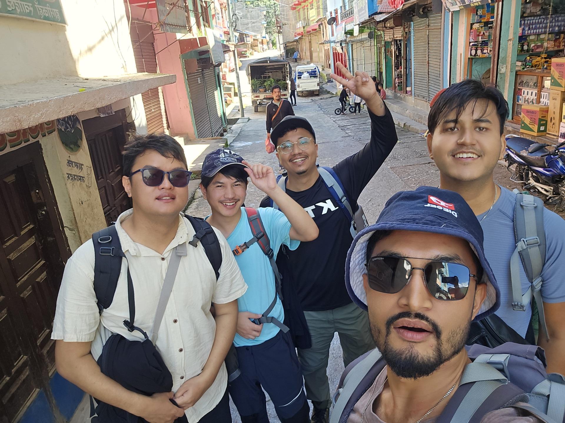
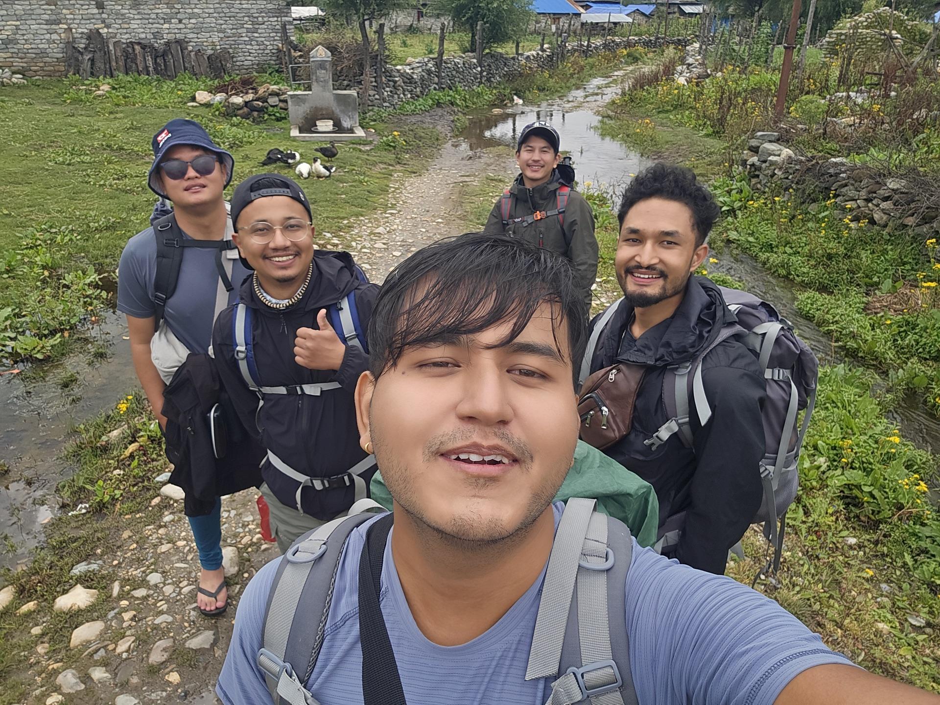
Morning put us in Burtibang, a bazaar town deep in Baglung where the tarmac more or less gives up. The first photo of the trip is from 10:21 — all five of us grinning in the main street, packs still clean, sunglasses on like we knew what we were doing. From here the map says Dhorpatan is close. The road disagrees: we found a jeep, and it spent the next four hours proving the point — mud, streams, switchbacks, the whole vehicle occasionally rearranging itself around a rock.
Somewhere on that climb we crossed into the reserve, a hundred rupees each at the post. It felt like the cheapest admission in the world for what it covers: Dhorpatan Hunting Reserve, the only hunting reserve in the country, 1,325 square kilometers running from this road up into the Dhaulagiri range — blue-sheep country, most of it standing on end.
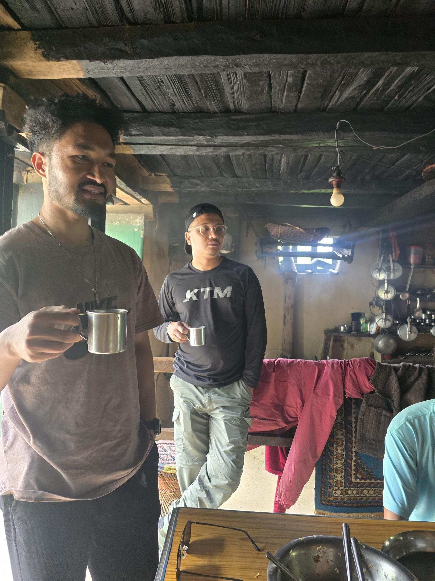
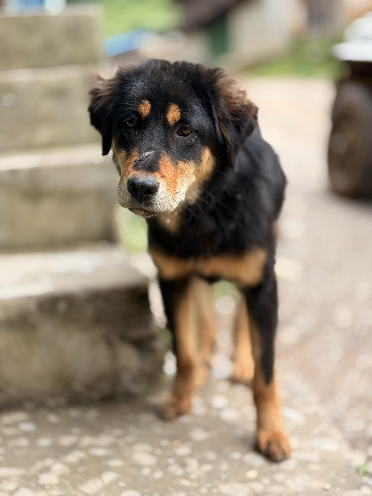
We stopped once at a roadside kitchen for tea in steel cups and chowchow sandheko, and a big black-and-tan dog came over from the steps to supervise. We shared our biscuits; it approved of us. Ten out of ten interaction, would be robbed by that dog again.
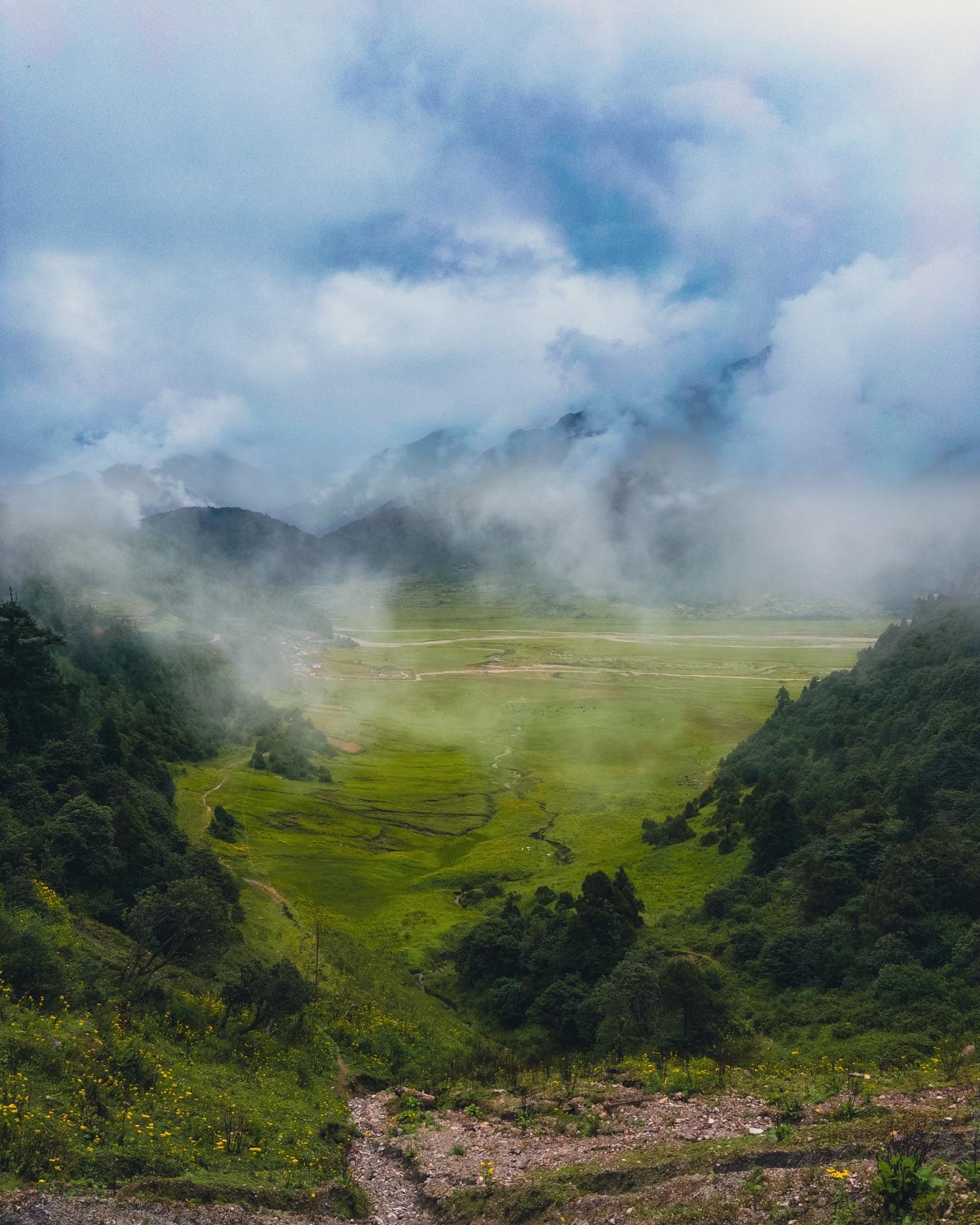
Then the hills did something hills don't usually do here: they opened. Dhorpatan isn't a viewpoint, it's a valley — a wide, flat-bottomed one at 2,900 meters running east to west under the cloud, and after four hours of leaning uphill the flatness felt almost rude. The word patan means exactly this, high pasture. The place is named for what it is.
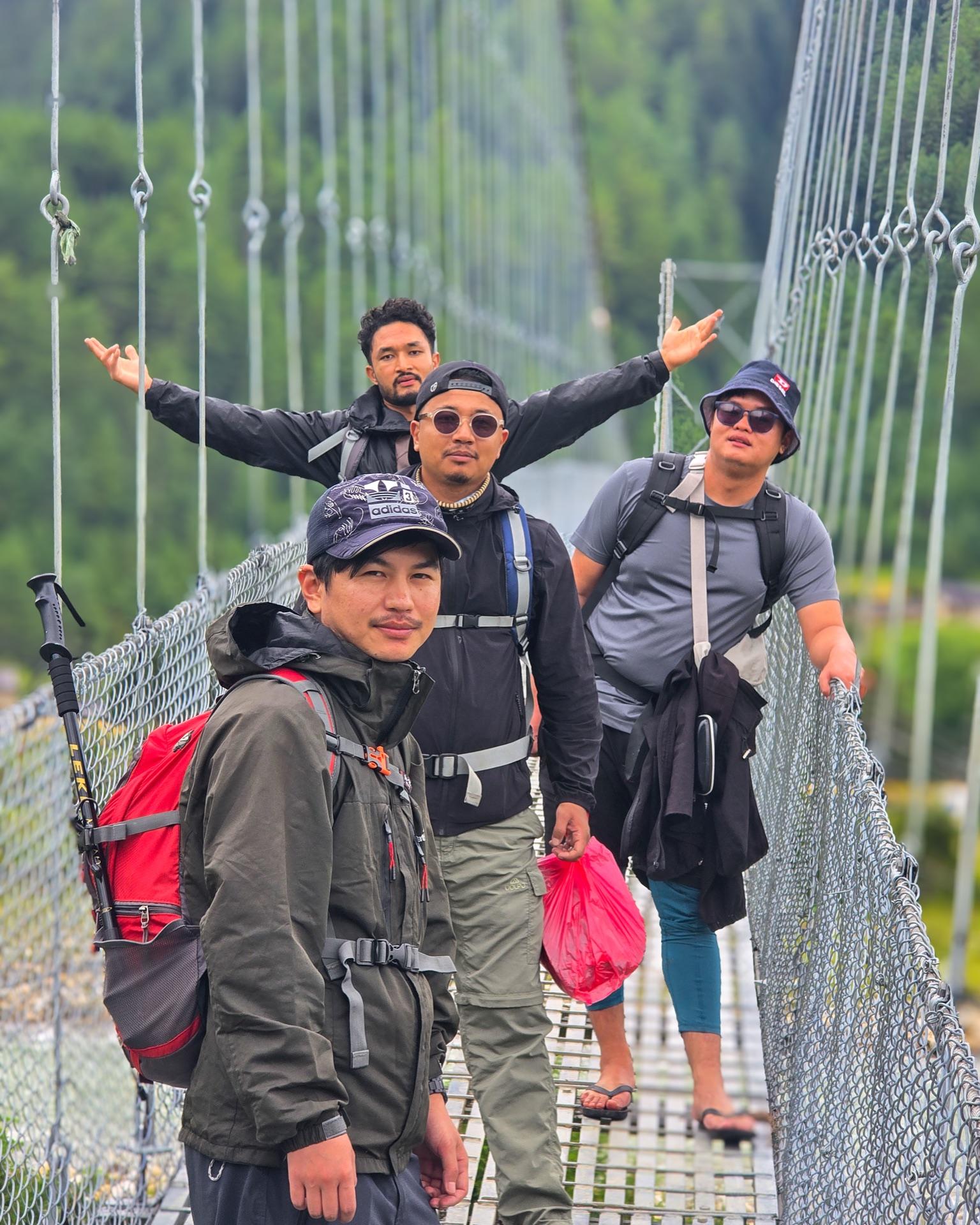
We ate dal bhat, and the plan improved itself over the plates. First idea: sleep right there where we ate. Second idea, the better one: push farther across the valley today so tomorrow's climb could start from closer. So the packs went back on and we walked — the gravel road running dead straight across the valley floor, then a long suspension bridge over the braided river, one of us crossing it in chappals because apparently that's a personality type.
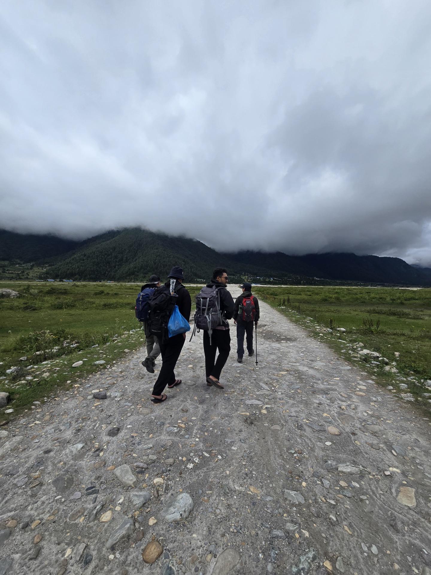
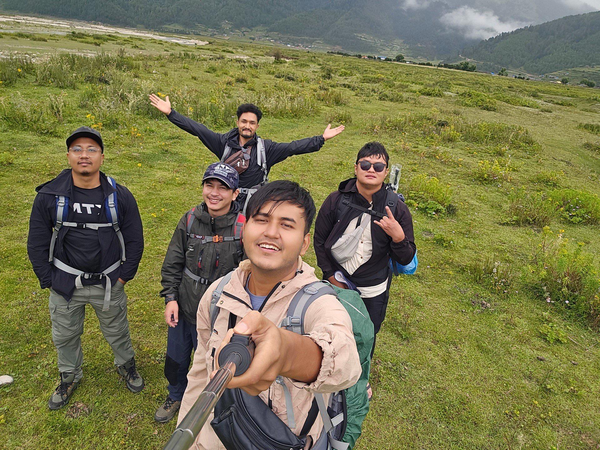
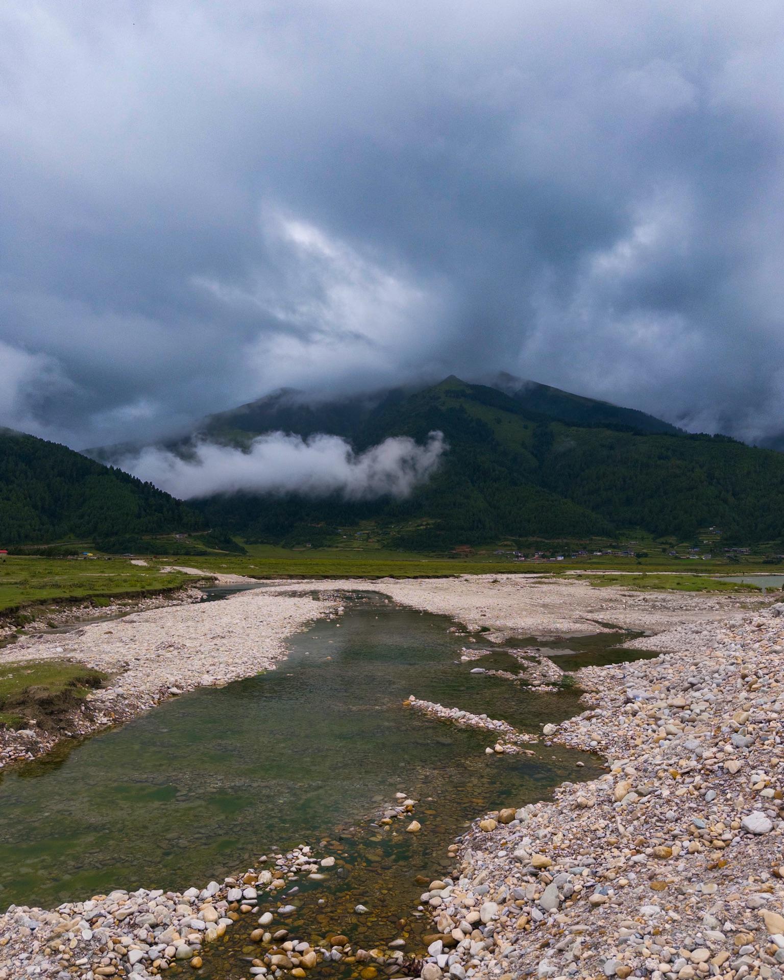
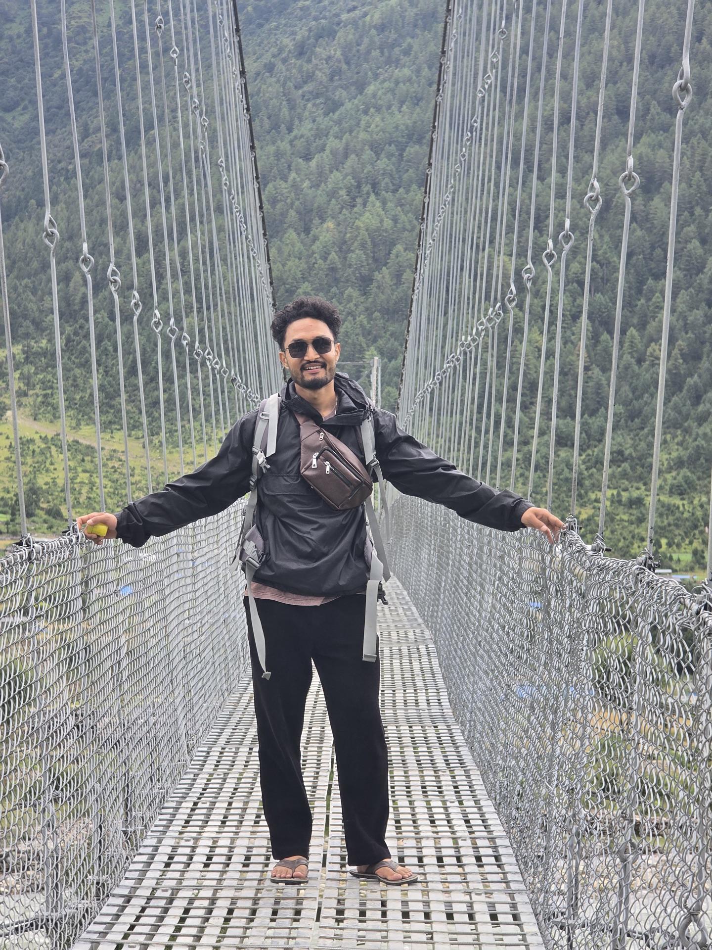
On the far side sat a village of teahouses with turquoise windows, and the Dhorpatan Valley Hotel, which is where we stopped. We'd beaten dusk, and the owner wouldn't let the daylight go to waste — the patan next door, he said, go look at it. It came with horses, rentable on the spot, and so the last light of day one is all five of us mounted and delighted: ponies in a line, zero riding experience between us, and one grey horse carrying — it must be said — the most dignified rider of the lot.
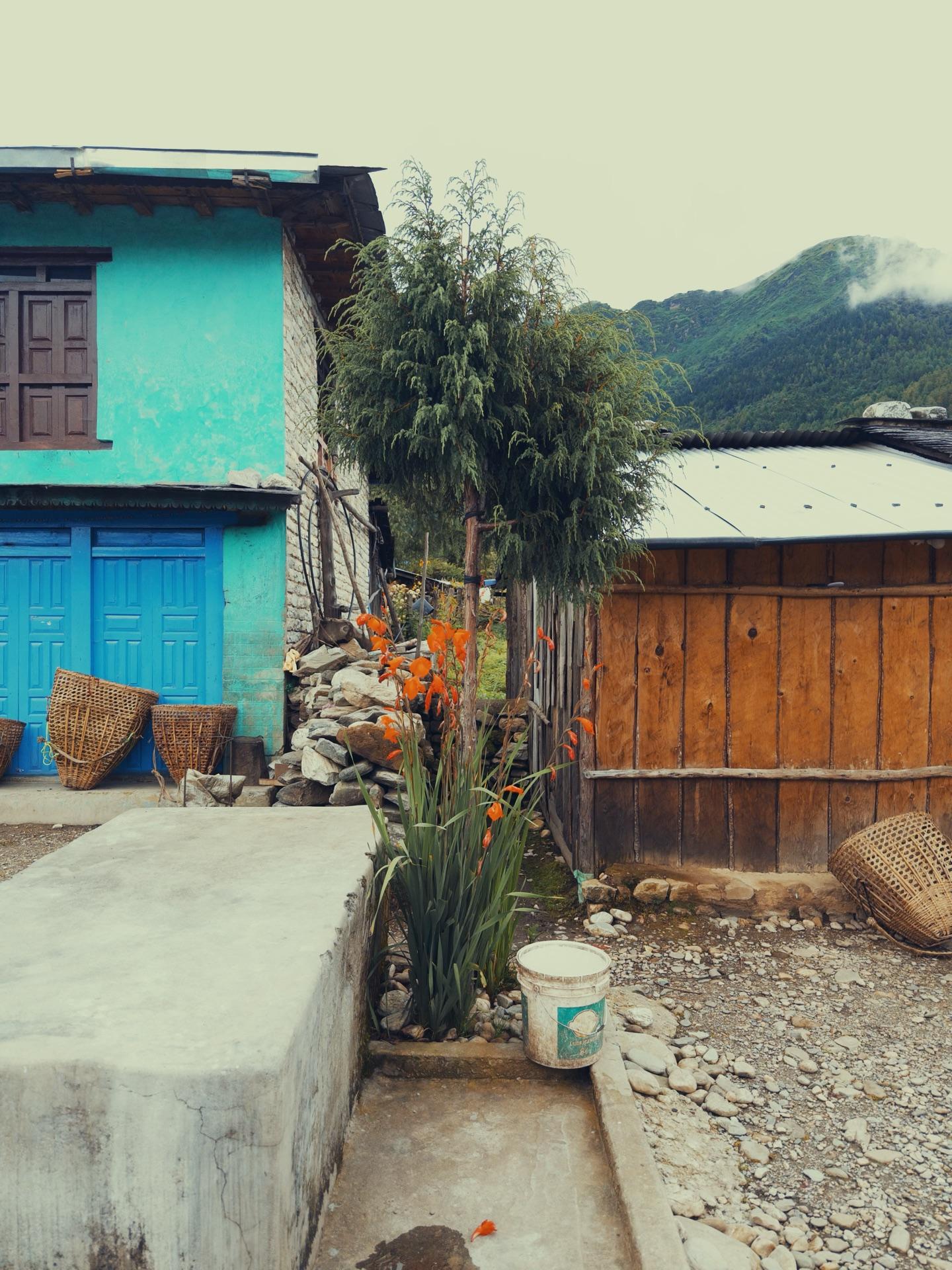
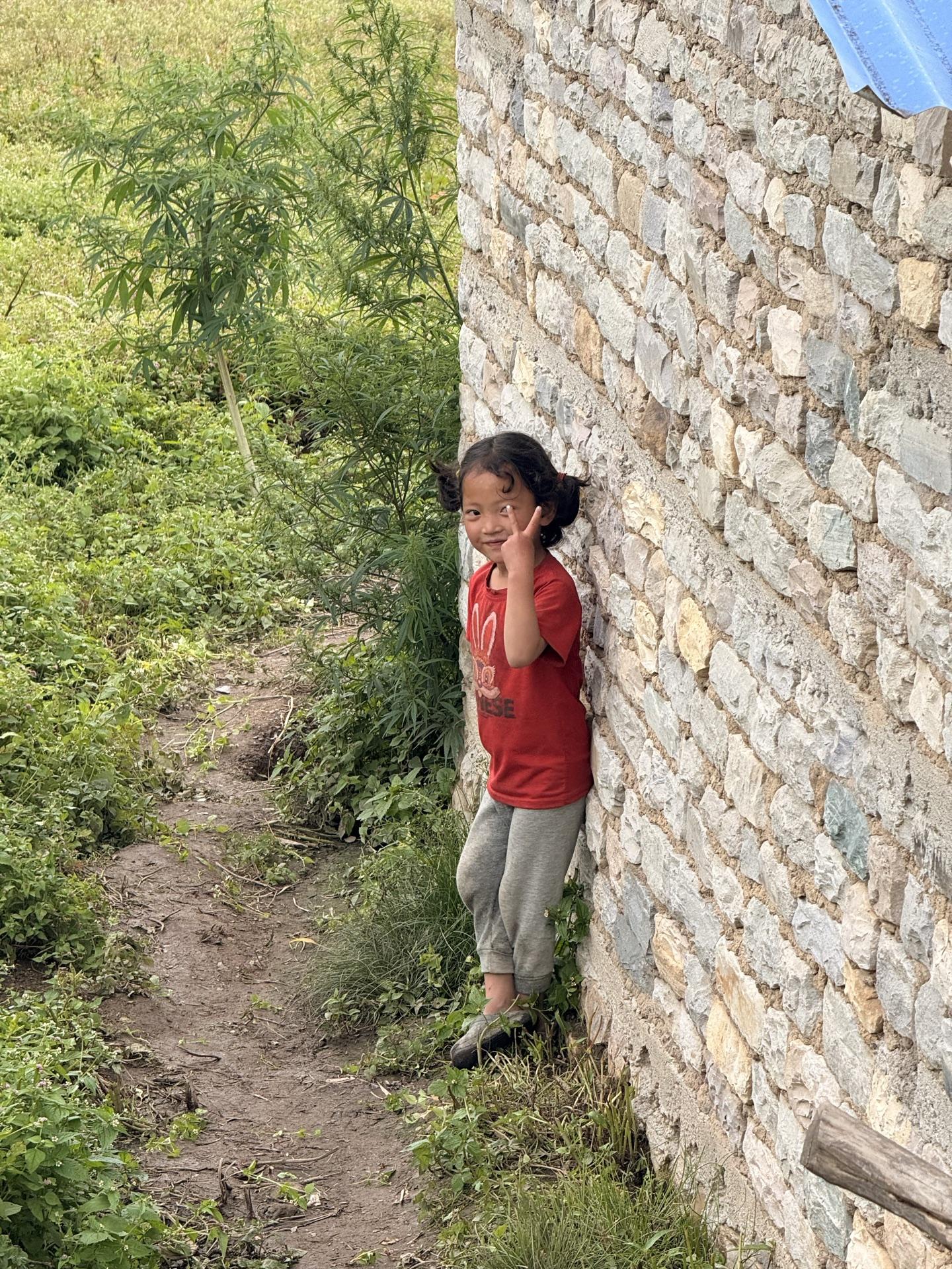
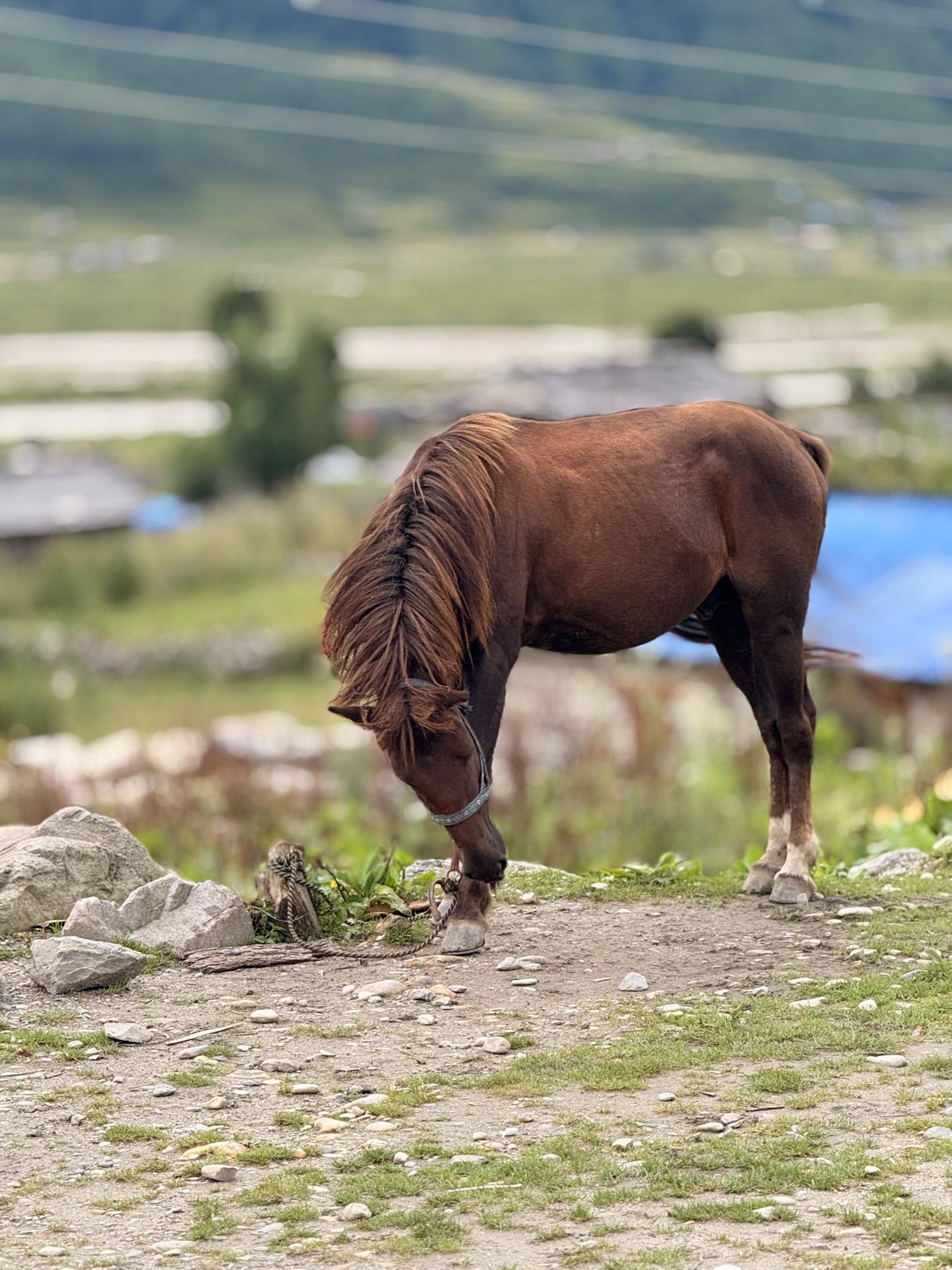
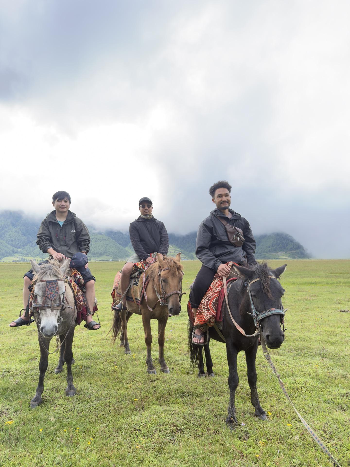
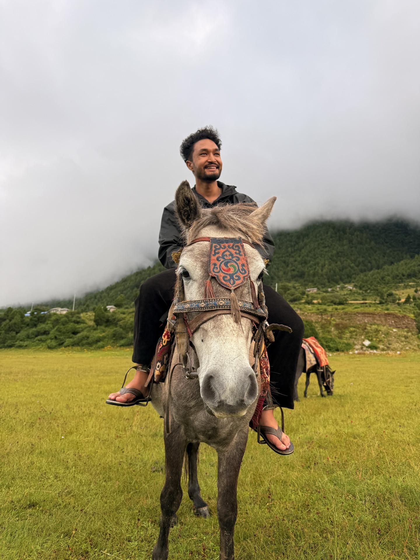
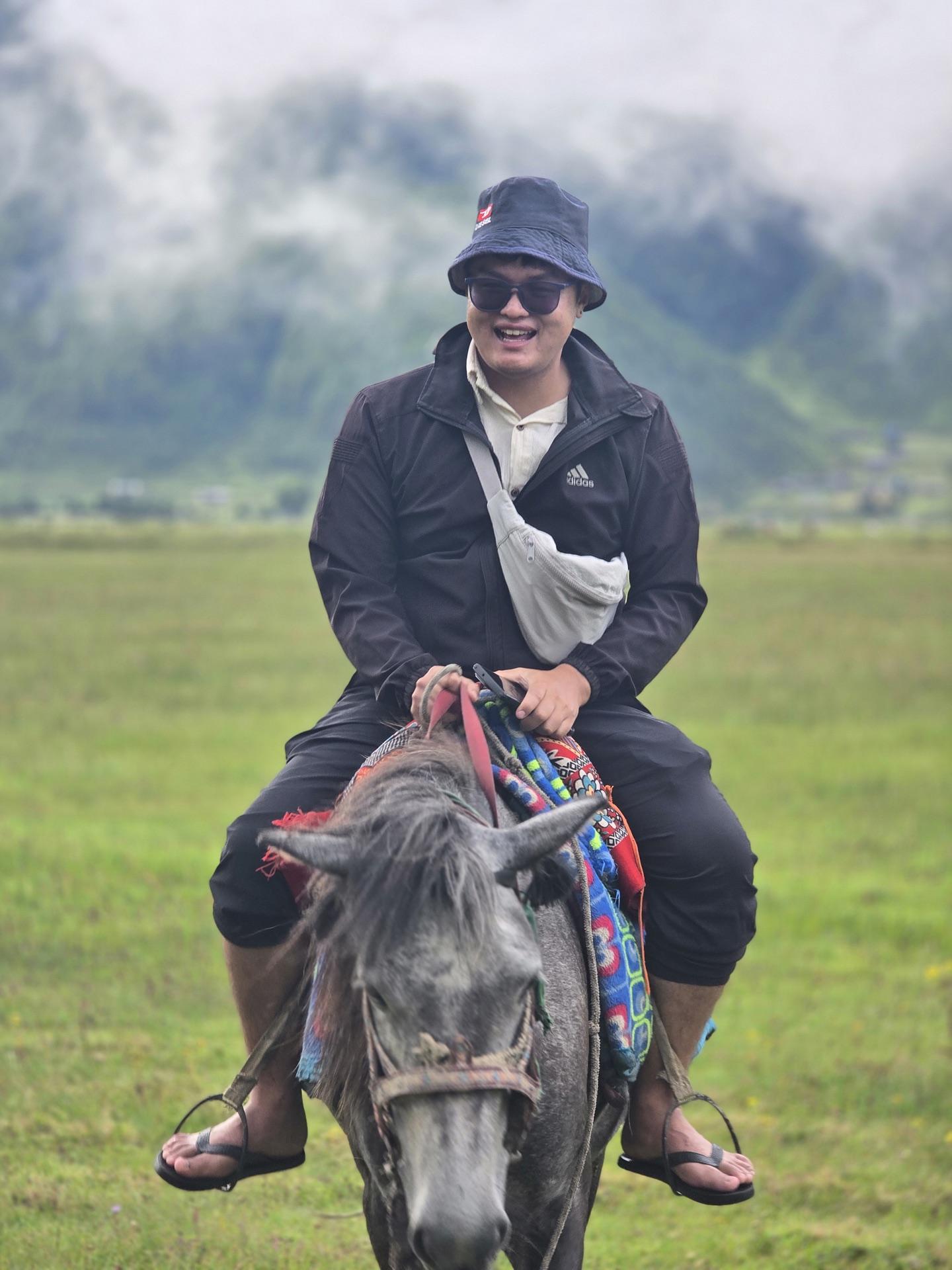
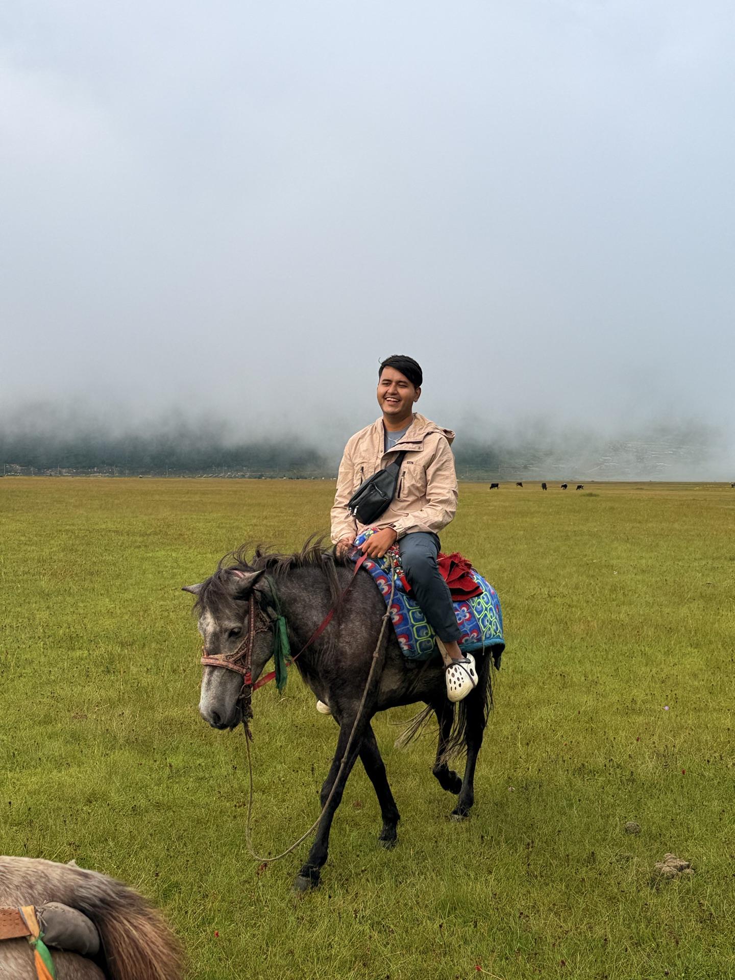
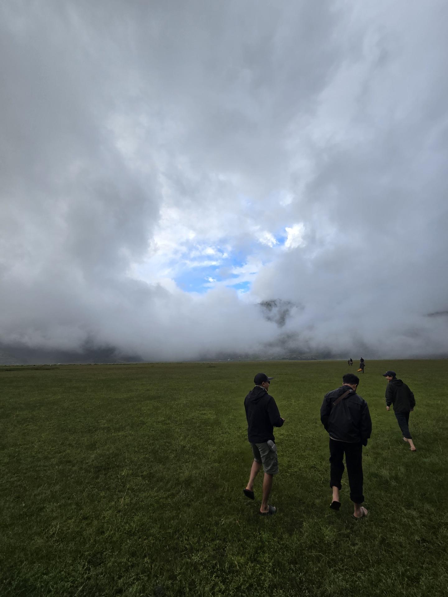
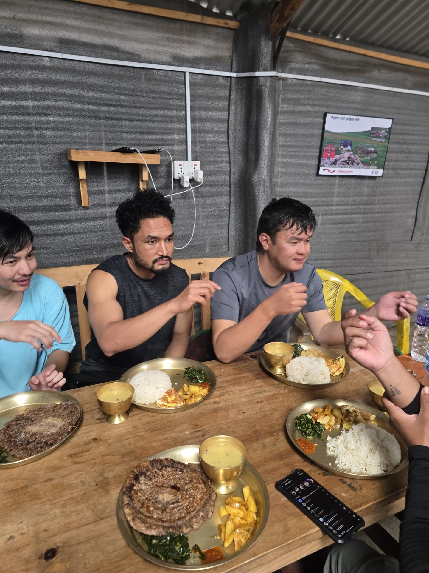
Then the light went out, the electric kind. Power cut. Someone stood a phone torch under a water bottle and the dining room got a lamp; we played cards in its glow and ate like it was a festival — dal bhat, sukuti, more chowchow sandheko, and kodo roti for whoever wanted to taste what the valley actually grows. Rain on the roof, cards on the table, money changing hands in denominations too small to matter.
As it happened
~05:00 Burtibang; the night bus lets us go
10:21 five of us, packs still clean
~11:00 the jeep starts climbing; the road stops pretending
~12:30 Rs 100 each at the reserve post
13:01 tea in steel cups; the shop dog accepts biscuits
~14:30 Dhorpatan; dal bhat; the plan improves itself
16:00 the suspension bridge, crossed in chappals
~17:30 horses, rented on the spot
19:46 power cut; cards by bottle-light
Day 02
Up into the weather
DhorpatanGarpa ChhedaBukipatan
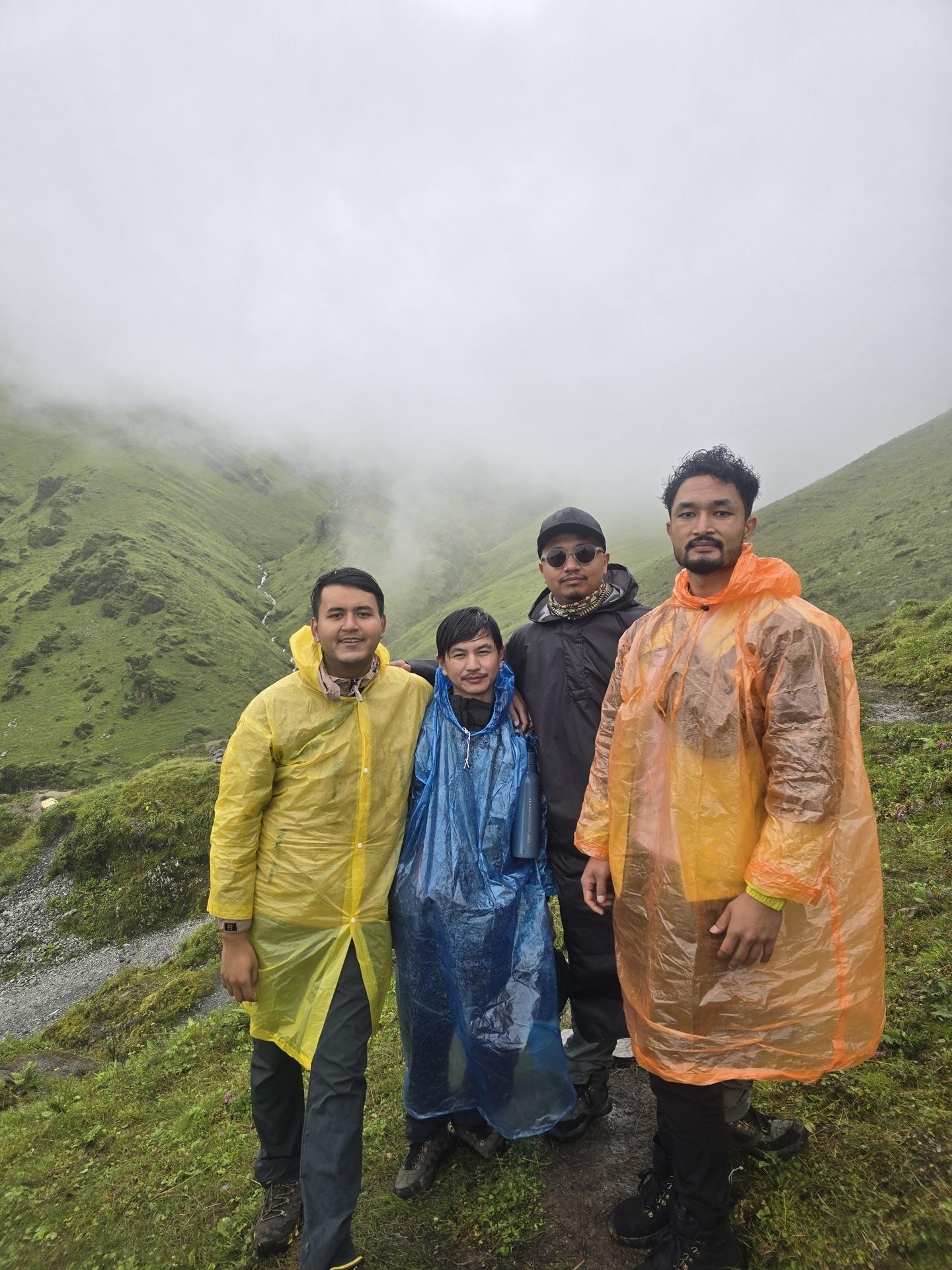
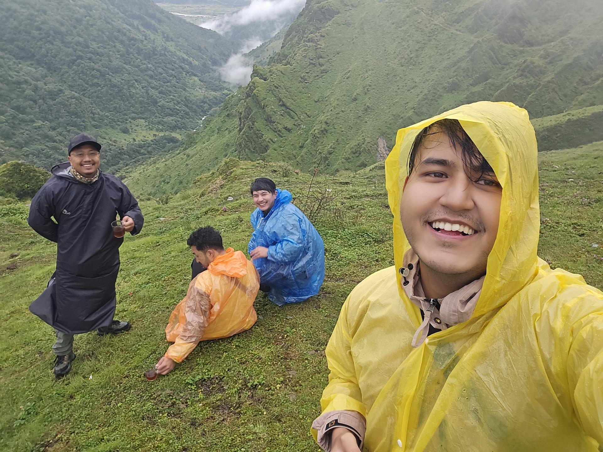
We were walking by half past five, which I'm told is a personality trait. The trail out of the village follows a stream up through wet forest, and the rain arrived early — quiet, steady, clearly planning to stay. Within the hour we were five people in five ponchos, yellow and orange and blue and purple, strung up a green ridge like prayer flags that had learned to walk.
We talked him upward, one bend at a time.
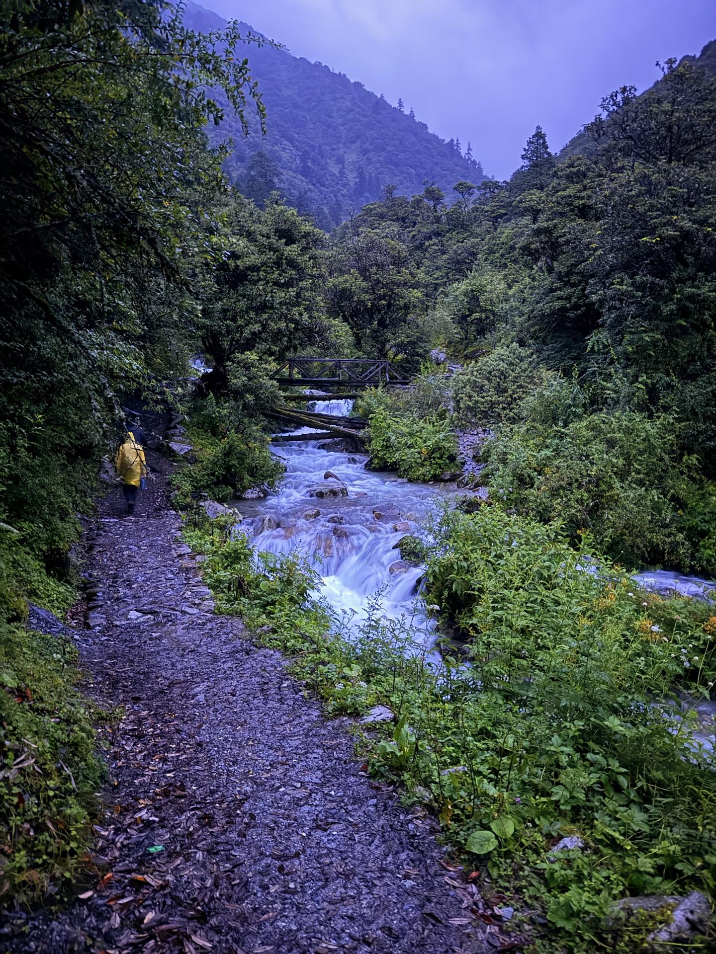
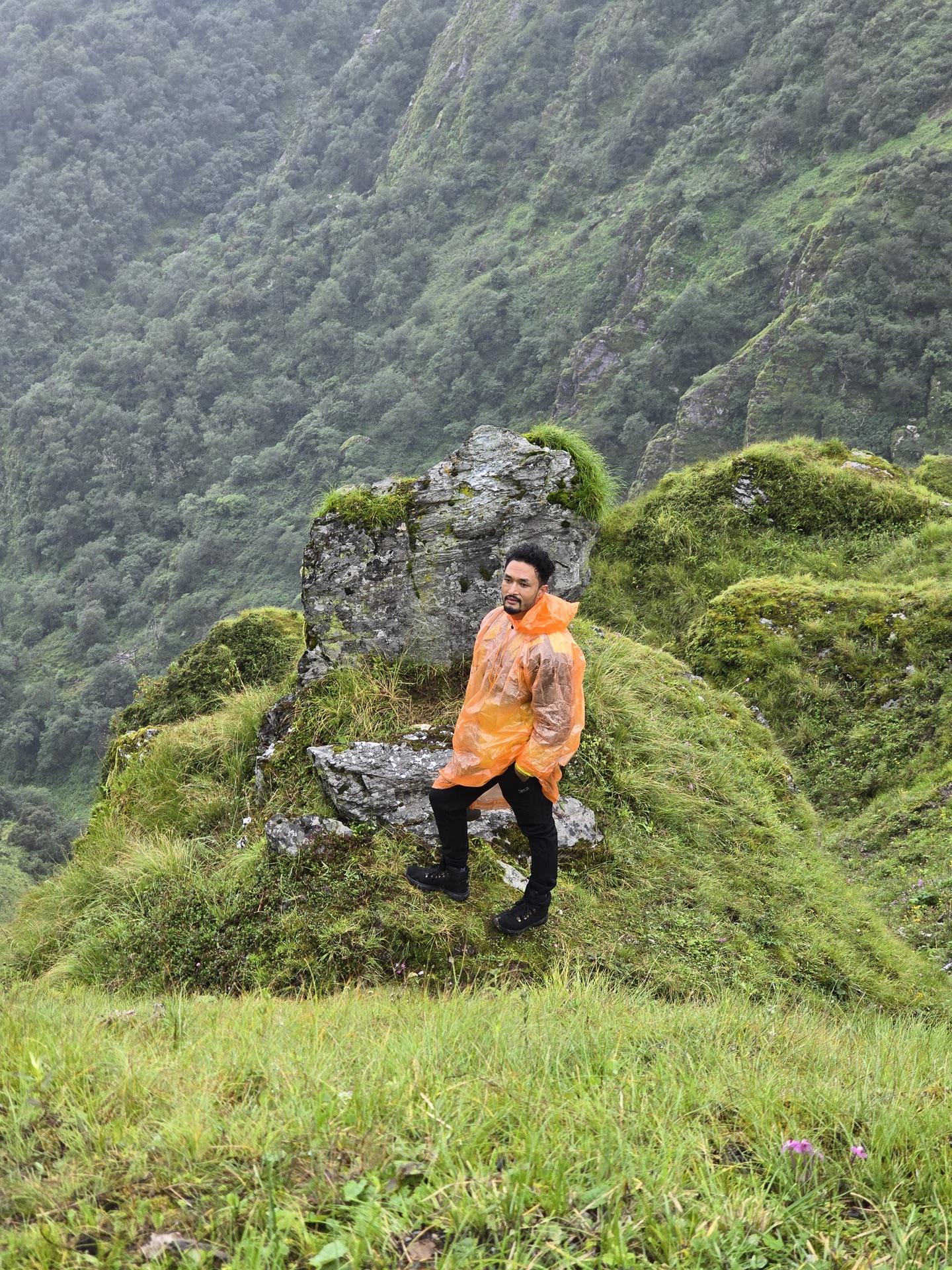
Somewhere on that climb, one of us got hit with a real back pain — the kind that makes a person go quiet and start doing math about turning around. The climb itself had probably triggered it. He wanted the hotel. We wanted him on the mountain. So we went slow, talked him through it bend by bend, and the group found the one speed all five of us could hold. I'm glad it worked, because everything after this belonged to him too.
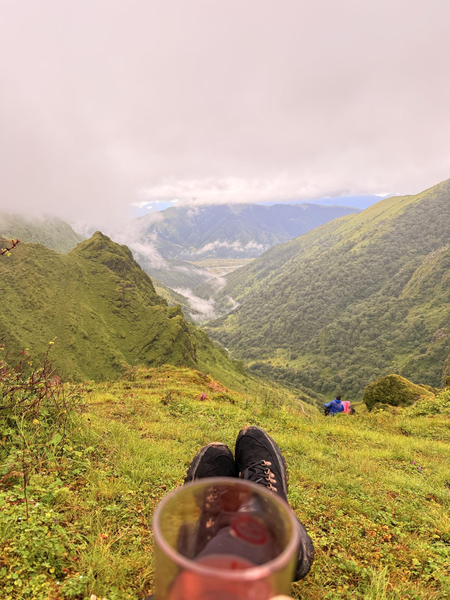
The rain paid one debt on the way up: a tea stop with the whole valley smoking below us. There's a photo from it that I didn't know was being taken — a boot, a red cup, the drop falling away behind both — and it might be my favorite of the trip.
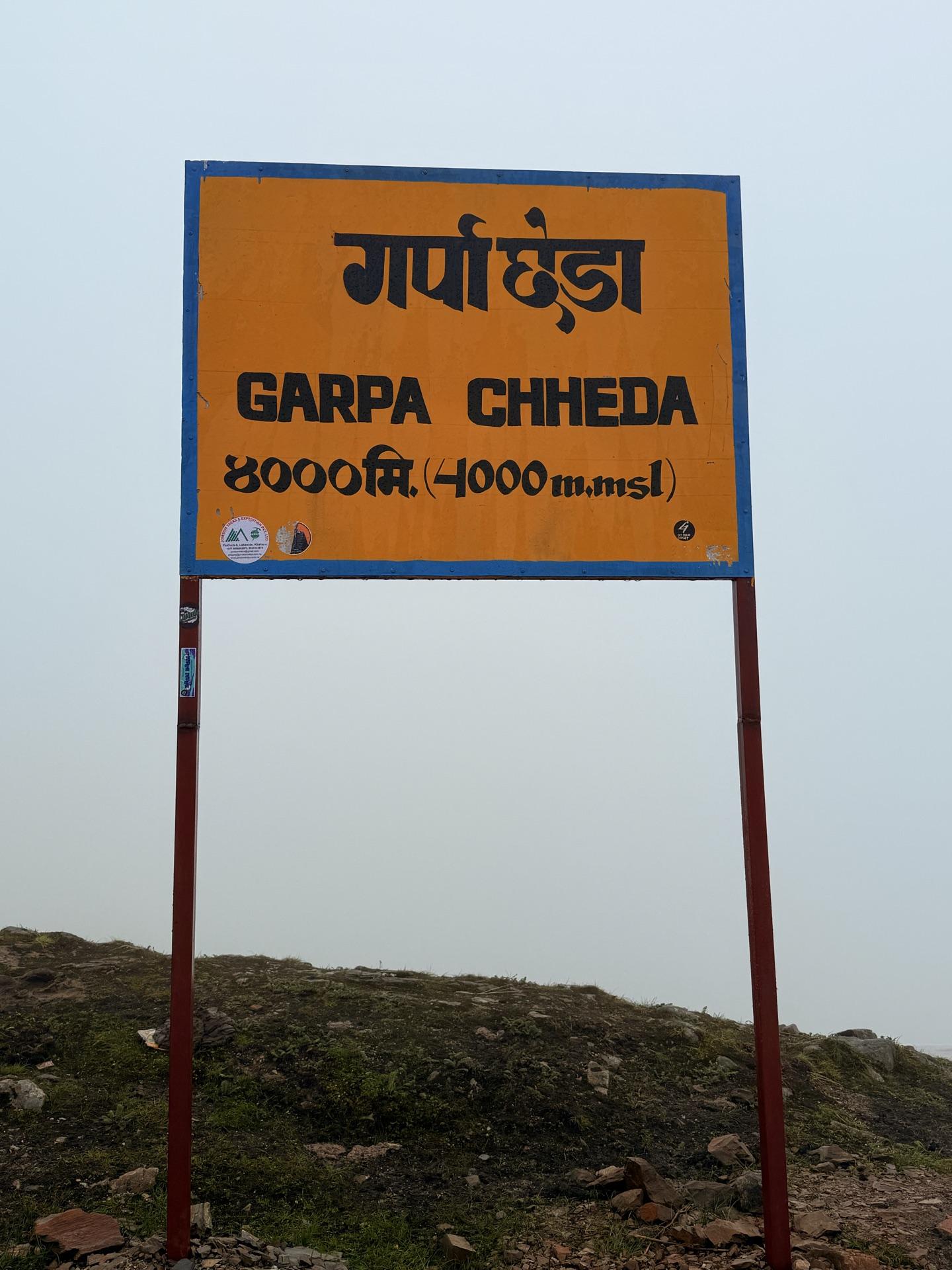
At 08:36 we reached the signboard, and I want the sign itself on the record: गार्पा छेडा, Garpa Chheda, 4,000 meters. The trail under our feet was newer than it looked — a five-kilometer route built up from Pakhathar with little wooden bridges over the streams — and past the sign the mountain finally changed its mind. The stairs stopped. The land started to roll.
That rolling country is Bukipatan: the buki meadows, named for the flowers that cover them in season, the high pastures that herders have driven sheep up to every monsoon for longer than anyone has bothered to count. We'd been climbing toward a word all morning without knowing it.
As it happened
05:33 moving; the stream keeps pace
~06:30 rain arrives; ponchos deployed
~07:15 a back files its complaint; overruled, gently
07:42 tea with the valley smoking below
08:36 गार्पा छेडा — the 4,000 m signboard
~09:00 the land goes from stairs to meadow
Arrival
The meadow kept its view
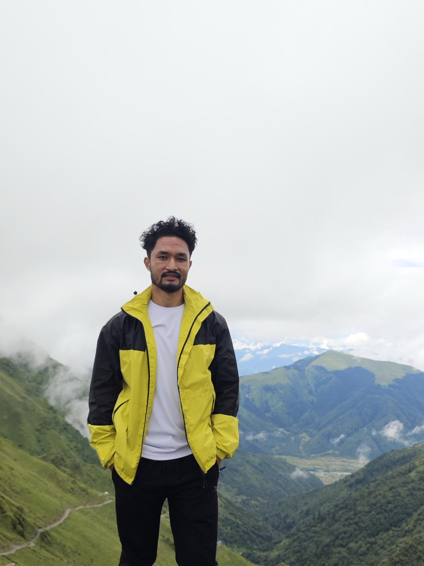
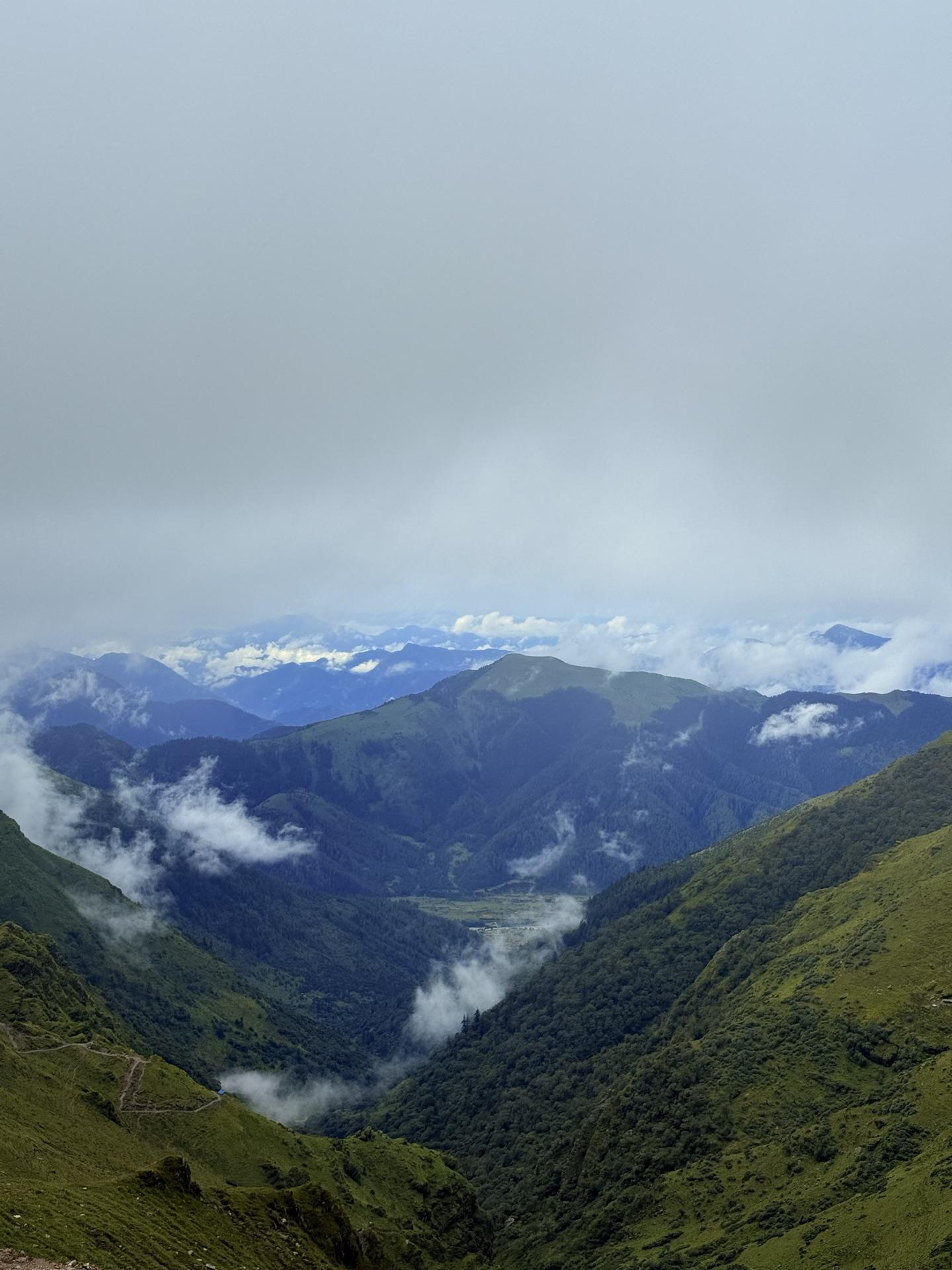
Here's the honest version: we climbed to four thousand meters and the mountains never came out.
Two of us went higher and came back with the same cloud.
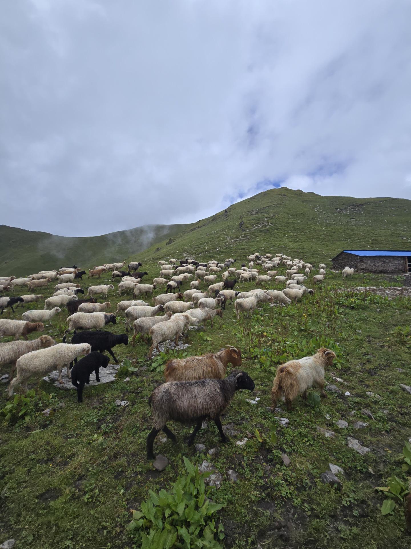
Bukipatan on a clear day looks straight at the Dhaulagiri range — that's the entire sales pitch, that's what brings the trekkers up in season. On our day the cloud sat on the meadow like it had paid rent in advance. Grass going silver in the wind, ridgelines fading in and out like a signal, sheep from the herders' goths drifting across the slopes — and past all of it, where the biggest mountains in the neighborhood were supposed to be standing, a wall of soft white nothing.
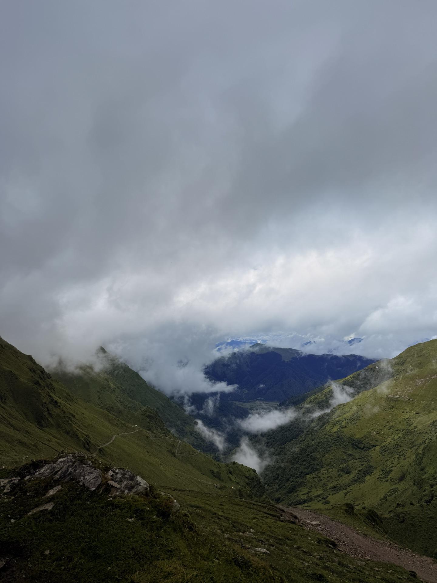
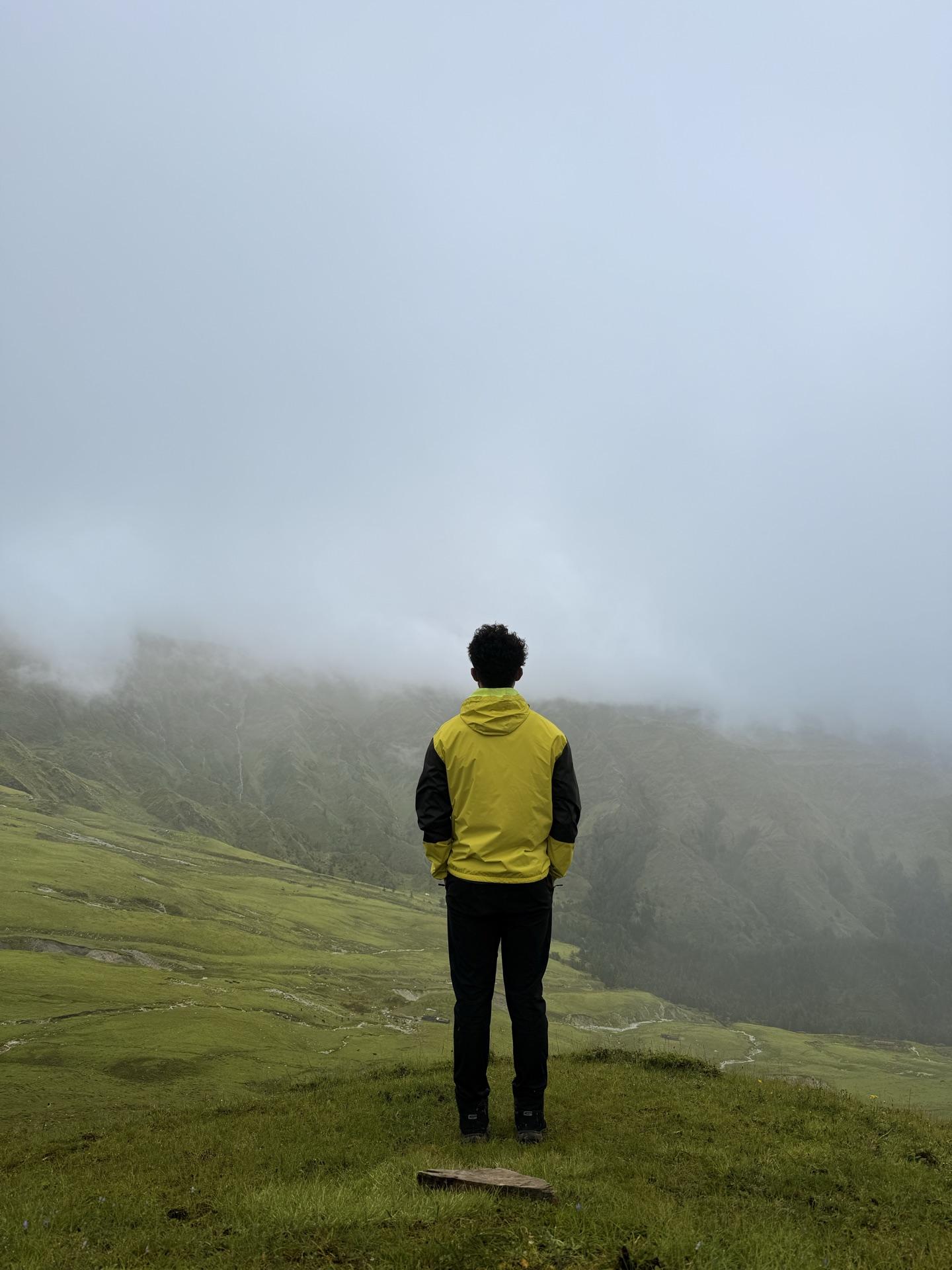
Two of us refused to take that for an answer and pushed on toward Tikadhara, the lookout at 4,190 meters, another stretch along the ridge. The three of us who stayed did what you do when the backdrop is a rumor: took the photos anyway, sat where the view should be, listened to sheep bells ring from somewhere inside the white. The two came back in under an hour with the same cloud we already had, just from higher up. Nobody got the Dhaulagiri.
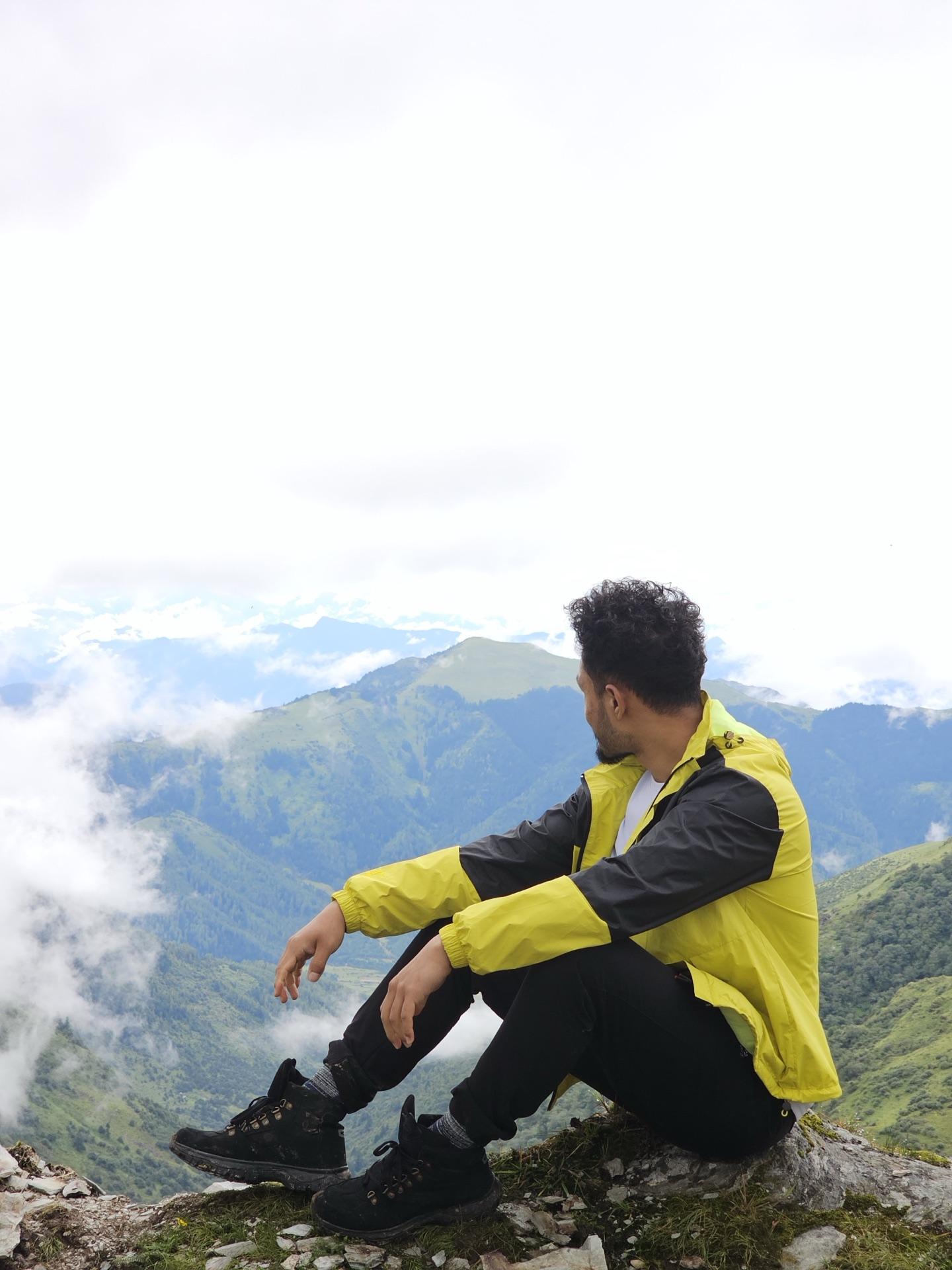
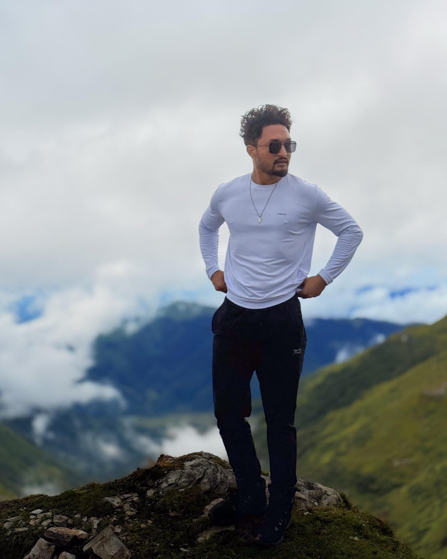
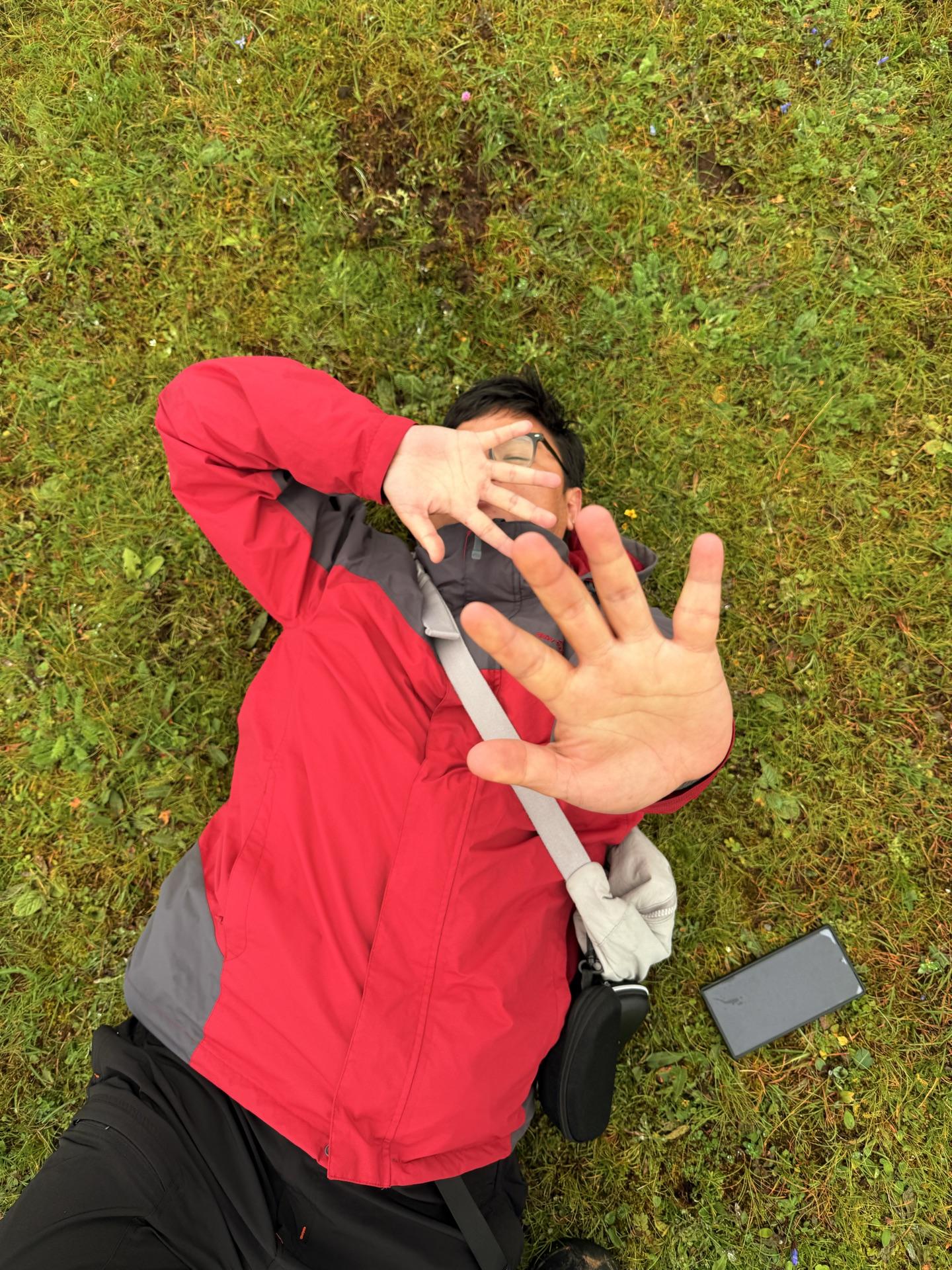
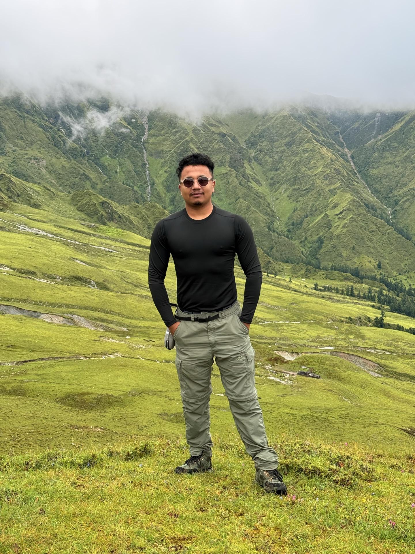
And the strange thing is that it didn't ruin anything. The meadow at four thousand meters in monsoon is its own event — the patan the whole valley is named for, the flowers, the flocks, the weather rolling through at eye level. We stood in the reason for the name. The view can be next time's problem.
As it happened
~09:15 Bukipatan; cloud down to the grass
~09:30 two push on for Tikadhara, 4,190 m
~10:15 sheep bells somewhere inside the white
~10:45 the two return; same cloud, longer story
Day 03
Down with the rain
BukipatanDhorpatanBurtibang
The way down was rush hour, monsoon edition. Everyone who'd come up was coming down, the herders were moving their animals, and at one point the trail simply became sheep — a river of wool pouring past the goths with the five of us standing in it like rocks.
For about three hours the plan felt brilliant.
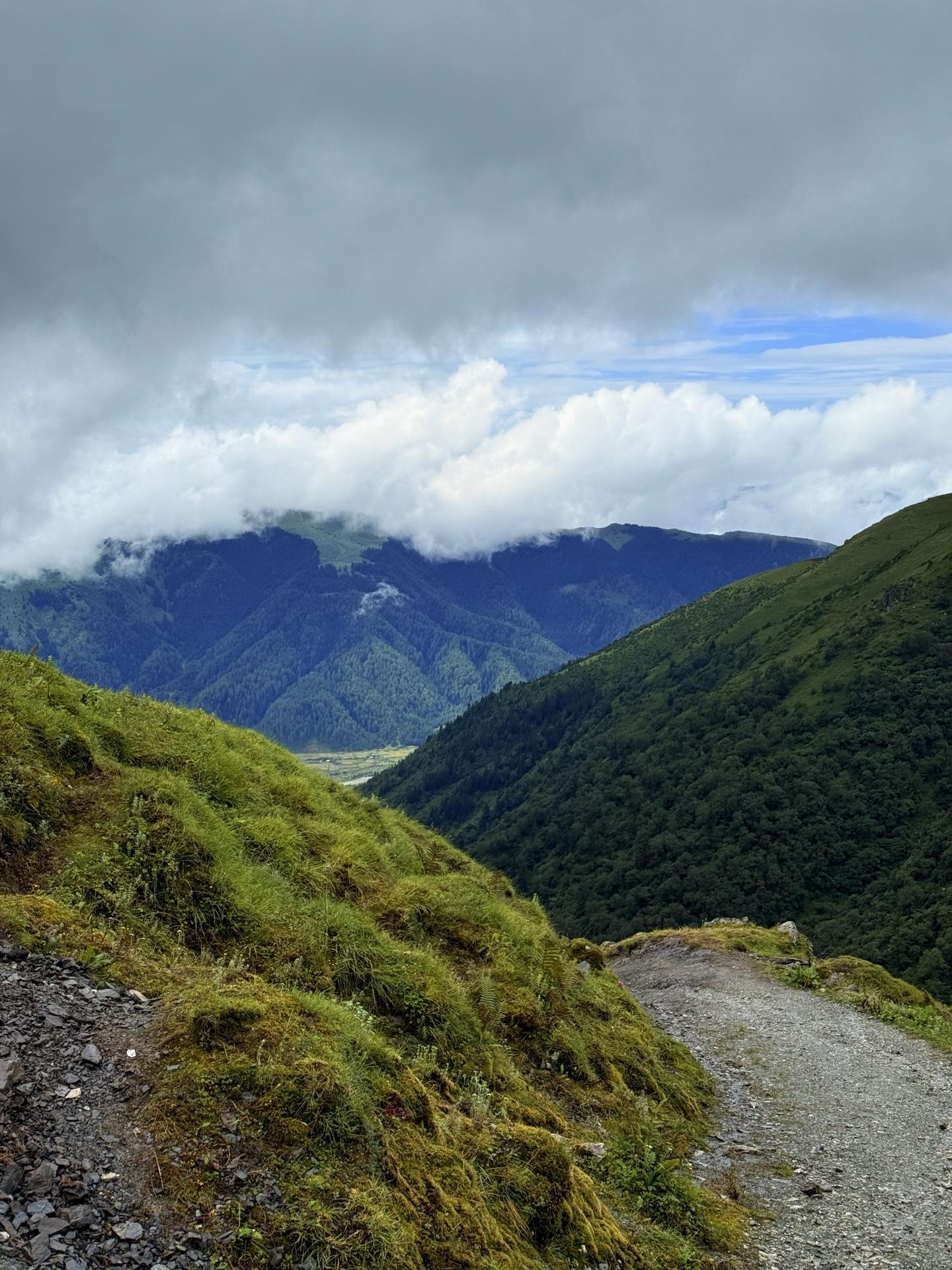
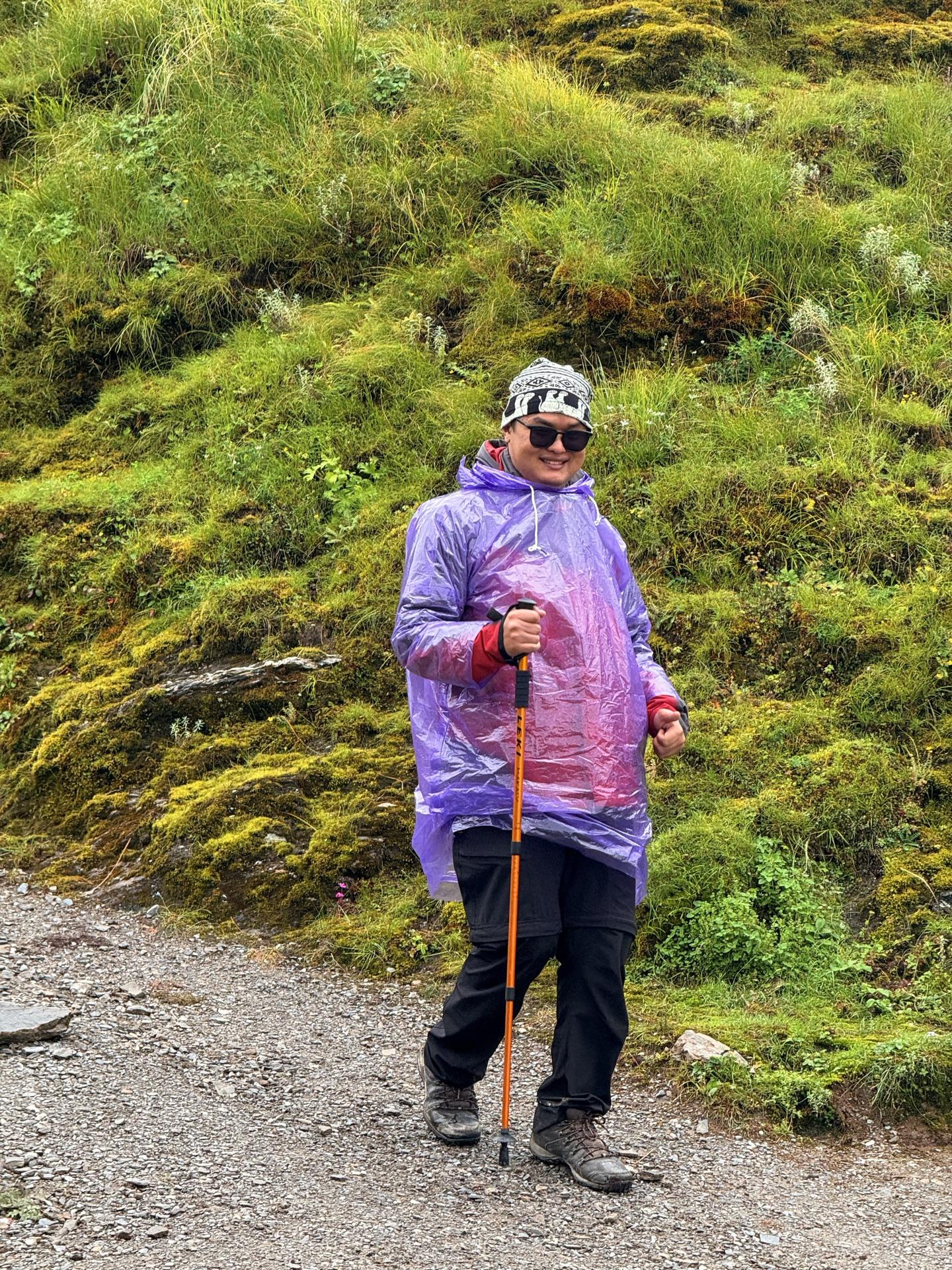
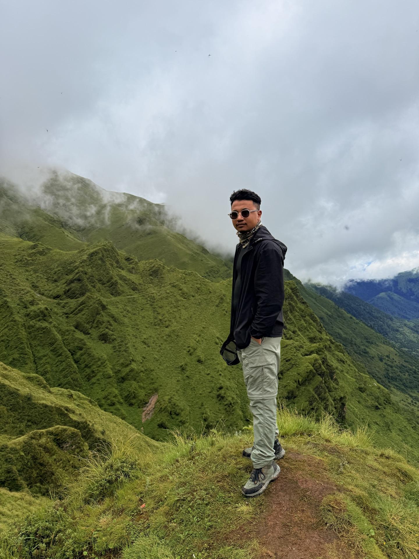
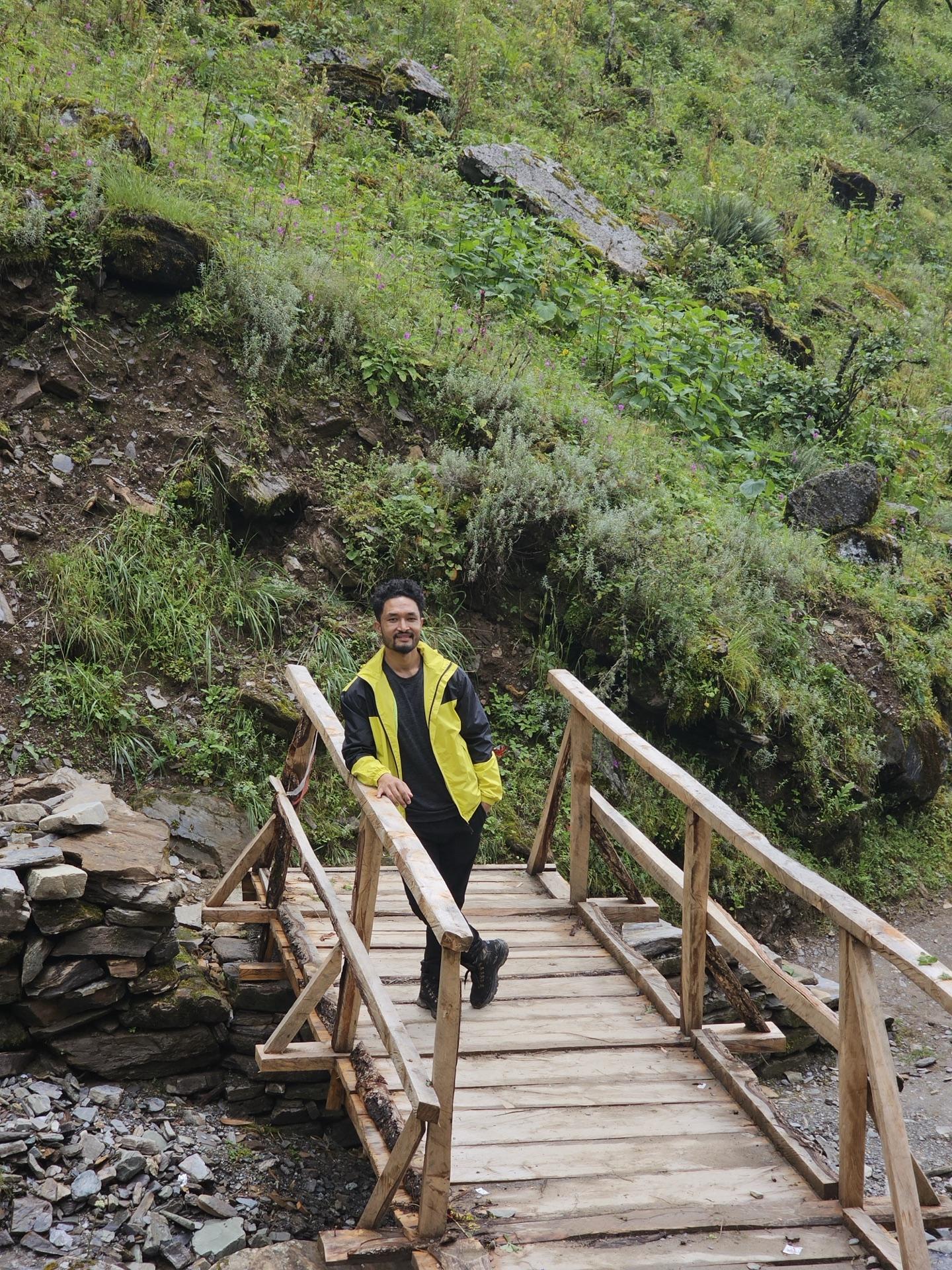
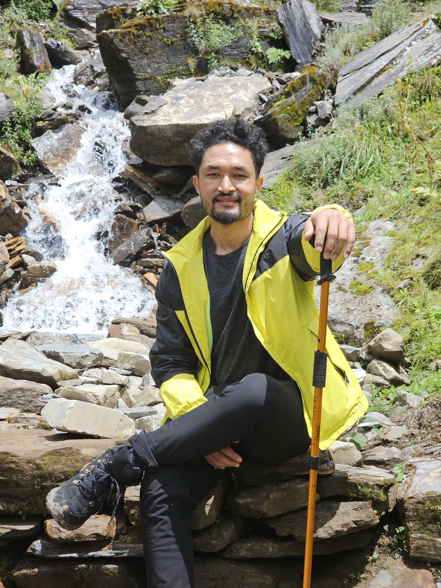
The new trail's wooden bridges were slick and the waterfall beside the path had clearly had an excellent week. We were back at the hotel by early afternoon, ate a dal bhat that disappeared in minutes, packed, and carried our bags back across the suspension bridge to the road — same bridge as yesterday, heavier packs, wetter sky.
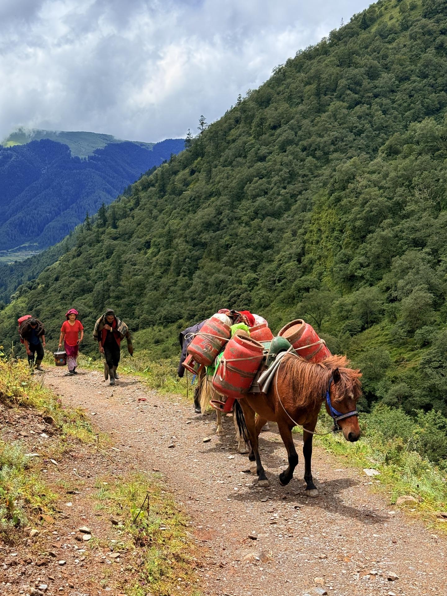
Then came the part of the trip nobody photographs: getting out of a rained-in valley. There was no jeep. We ended up calling the same driver who'd hauled us up the day before, and while we waited a plan grew legs — reach Burtibang, reserve a Hiace, drive through the night, wake up in Pokhara. The driver even phoned his acquaintances who run the Pokhara road. For about three hours this plan felt brilliant.
The mountain had opinions. The rain got heavier as we dropped and the offroad went to soup; yesterday's four hours became five, maybe more — nobody was keeping count anymore, we were mostly keeping our heads off the roof. Two strangers rode down in the jeep with us and we talked the way you talk when the same road is shaking all of you: openly, in fragments, laughing at nothing.
Burtibang, when we finally reached it, was dark and loud with rain, and the night-drive plan quietly died there — driving that highway in that weather stopped being an adventure and started being a bad decision. So: a hotel, found on the spot. The two strangers took rooms in the same one. One of them was headed for the Annapurna Base Camp trek, which sounds like a different world from Dhorpatan until you look at the map — it's the same road home.
As it happened
~11:30 sheep have right of way; nobody argues
11:36 the waterfall, in excellent form
14:31 dal bhat; gone in minutes
15:42 the bridge again, packs heavier with rain
~16:30 a Hiace plan is born in a doorway
late Burtibang; the plan meets the rain and loses
Day 04
The road resets to tarmac
BurtibangNayapulPokhara
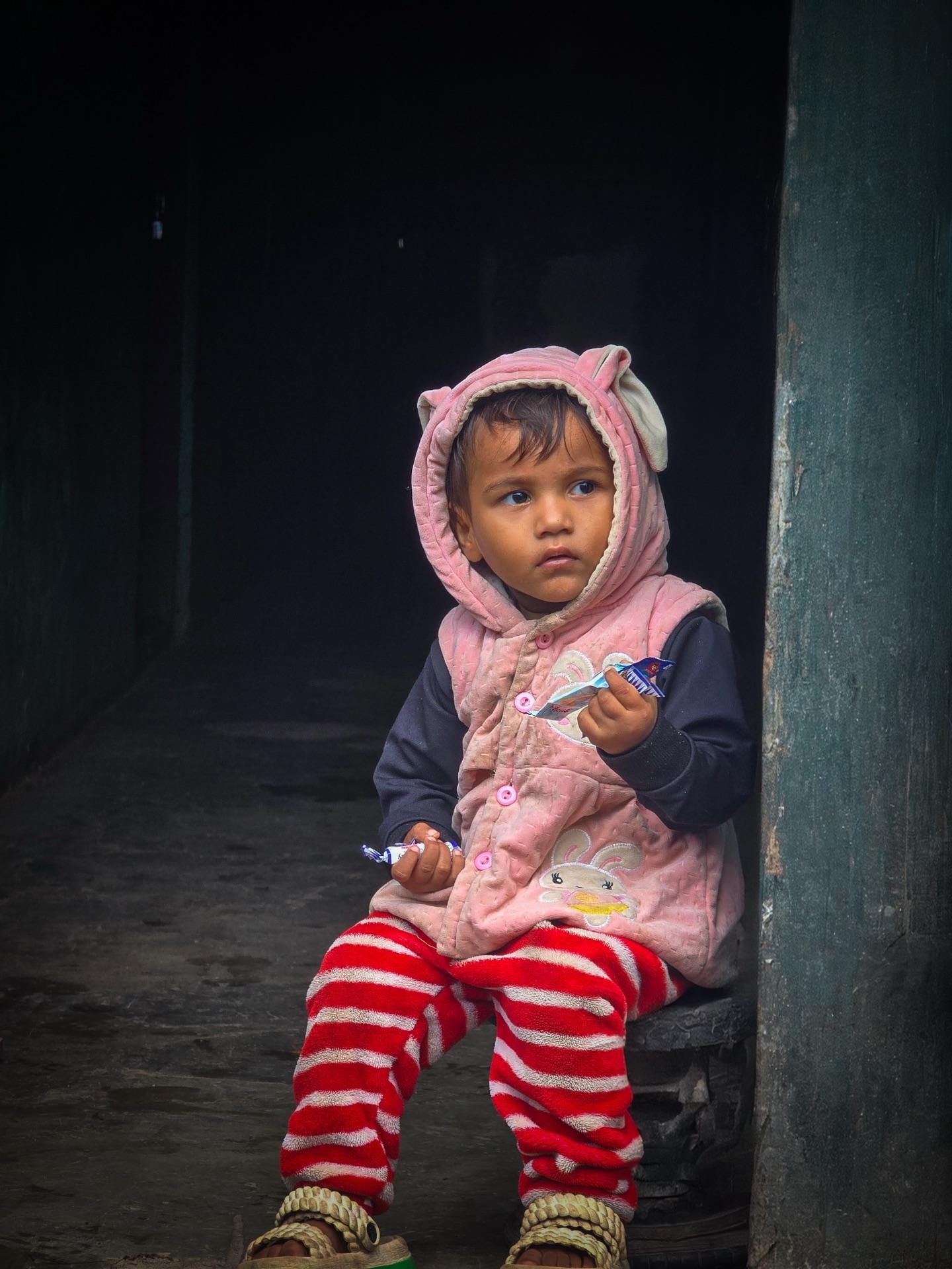
The Hiace happened after all — just in daylight, the way the rain wanted it. We loaded up early in Burtibang and rolled out while the town was still opening its shutters; somewhere in those first minutes there's a photo taken through the van glass, a kid in a pink hoodie watching the morning from a doorway, one of those frames you don't plan.
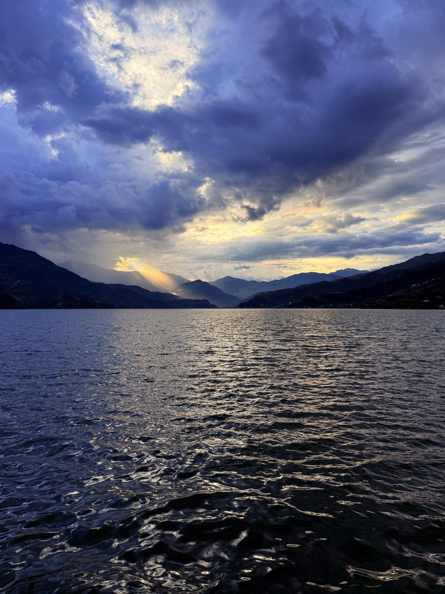
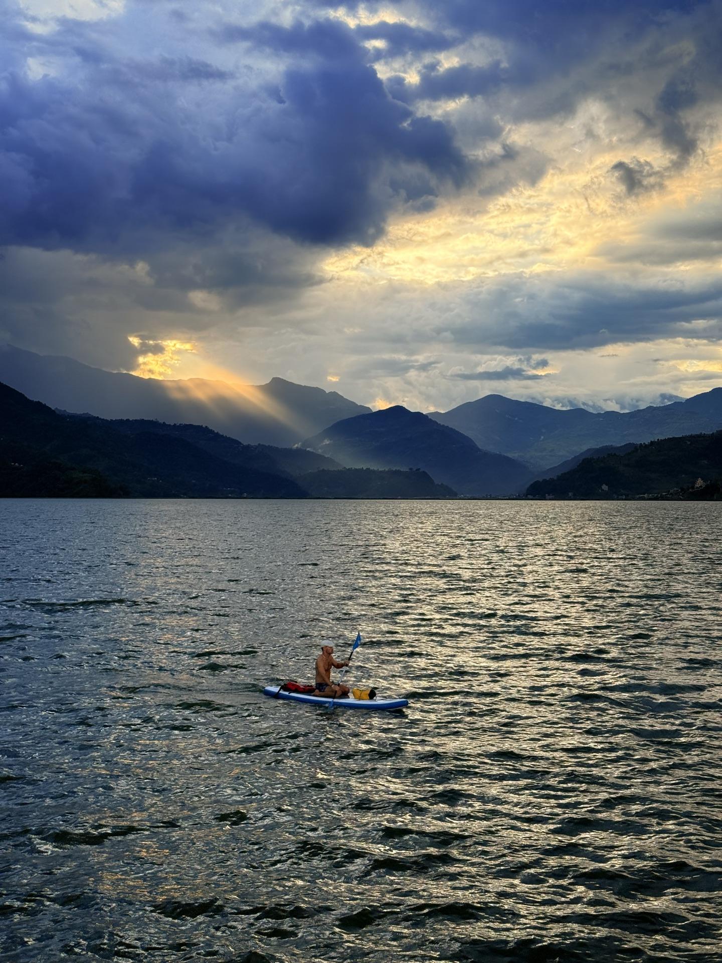
The sky that refused us at four thousand meters opened over the lake at eight hundred.
The road spent the day slowly remembering how to be a road. Our ABC-bound neighbor from the jeep rode along and got down a little before Pokhara — I didn't catch the name of the place at the time, but the map says it can only really be Nayapul, the bridge on the Baglung highway where the Annapurna trail steps off the road. Trekkers have been getting off buses there for decades; now one more. We waved him off like an old friend, because a shared jeep in the rain compresses time like that.
Pokhara received us the way Pokhara does — warm air, flat streets, menus in four languages — and we went straight to Lakeside for the view. And here's the joke the trip had been saving: the sky that had refused us all trek opened right up over Phewa. Sunset came through the clouds in full god-rays, a single paddleboarder out on the silver, the hills stacked in silhouette behind. We'd climbed to four thousand meters for this exact feeling and it was waiting at eight hundred, next to a juice stand.
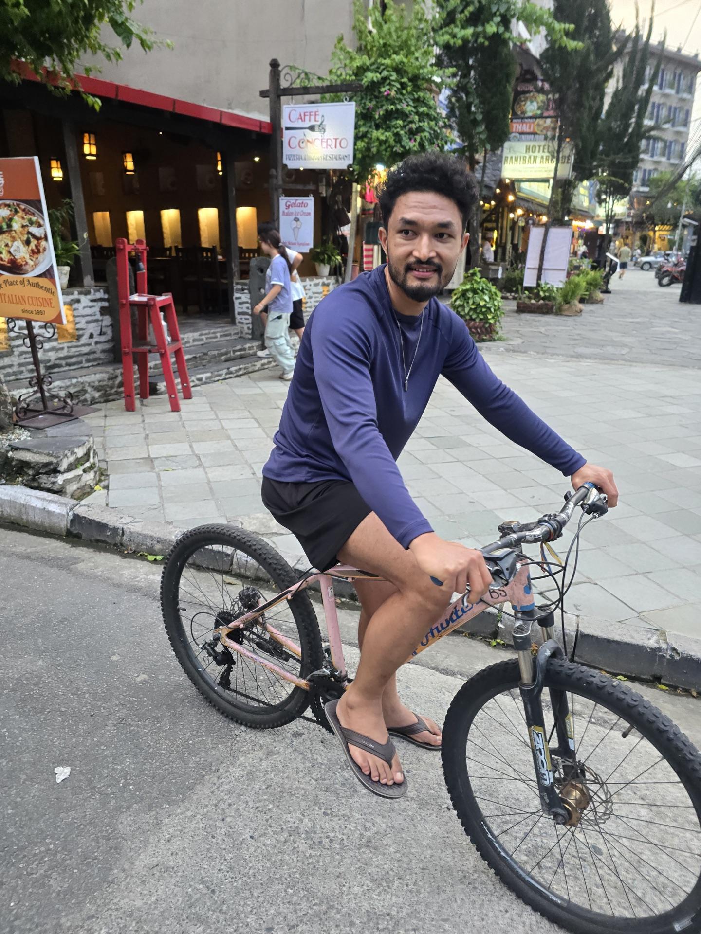
We rented bicycles and rode the lakefront until the light was gone, then let the town do the rest — food that wasn't dal bhat, streets that weren't mud, a bed that didn't come with a power cut.
As it happened
07:22 a kid in a doorway, through the van glass
~afternoon Nayapul; one goodbye at the trail junction
18:02 Phewa opens what Buki wouldn't
18:40 bicycles on Lakeside
Day 05
Fast laps, slow goodbye
PokharaBhaktapur
The last morning we spent being children with disposable income. There's a go-kart track on the quiet north side of Phewa — Rs 699 buys ten minutes, and after a week of the roads we'd been on, ten minutes of smooth cornering felt almost sarcastic. All five of us drove. Helmets, tire barriers, extremely serious faces.
One arrow never came back. It's on the bill.
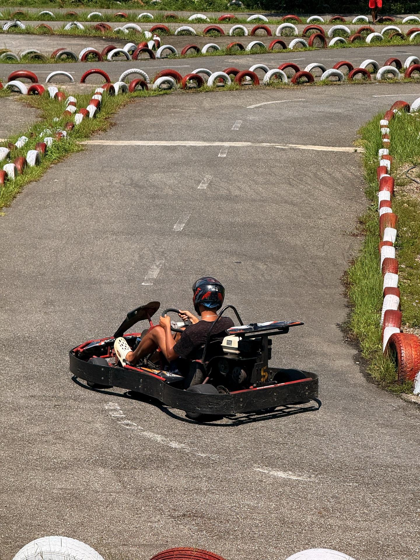
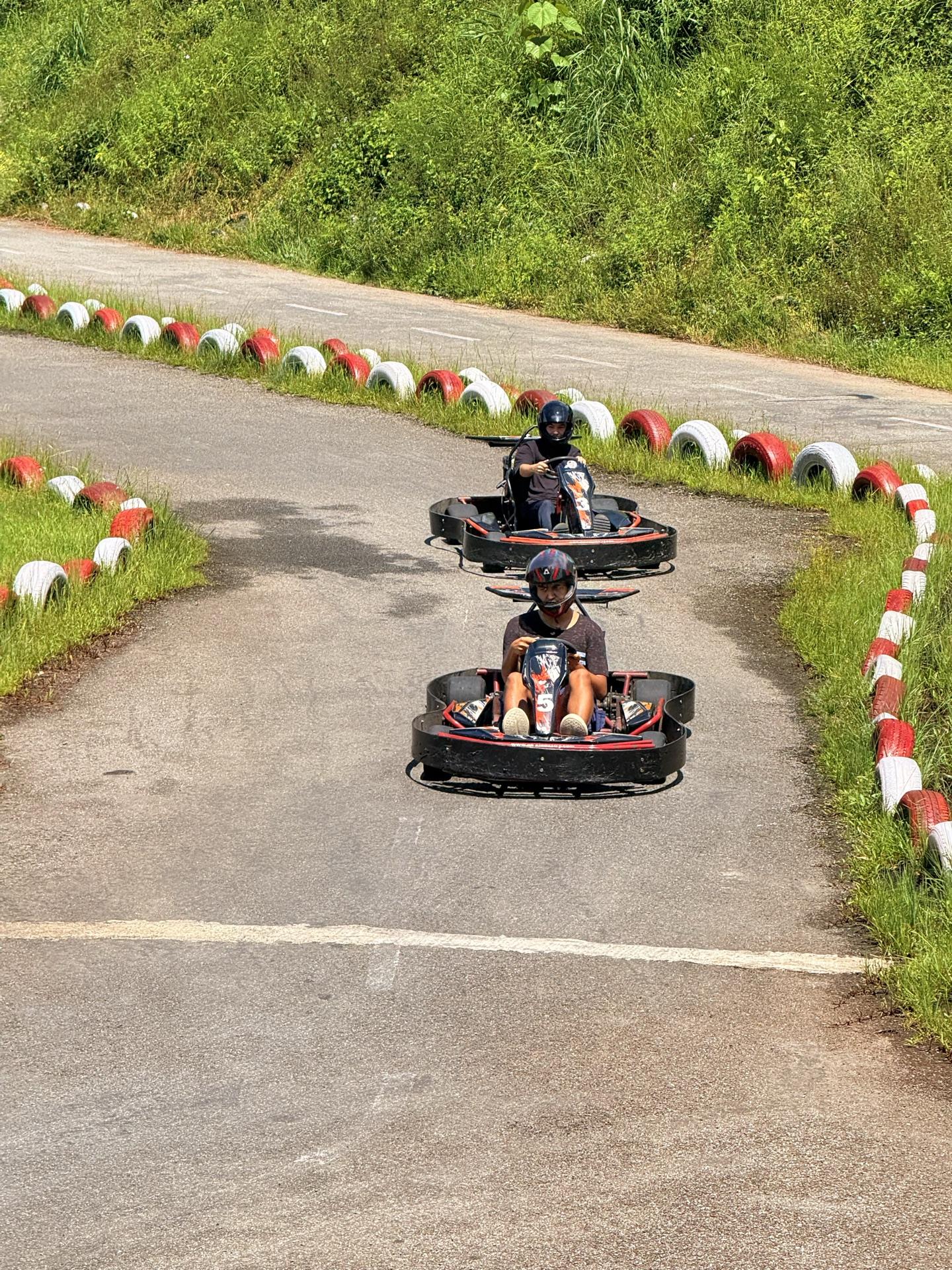
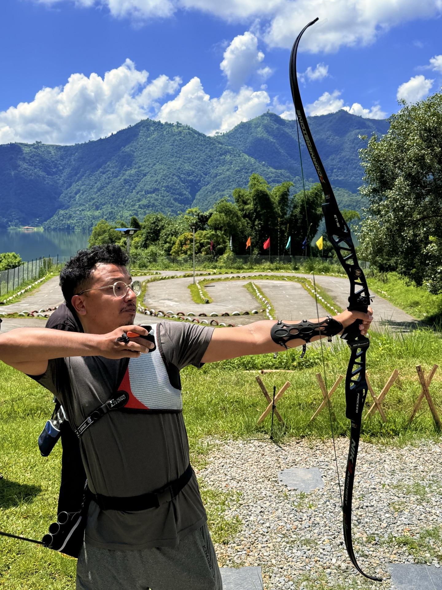
The same place runs an archery range, so we went from karts to bows without moving the chappals. All five of us shot. Four of five arrows generally came back. One did not — it's out there in the greenery beginning a new life, and it went on the bill, which we paid like it was a trophy fee in the country's only hunting reserve. Poetic, we decided.
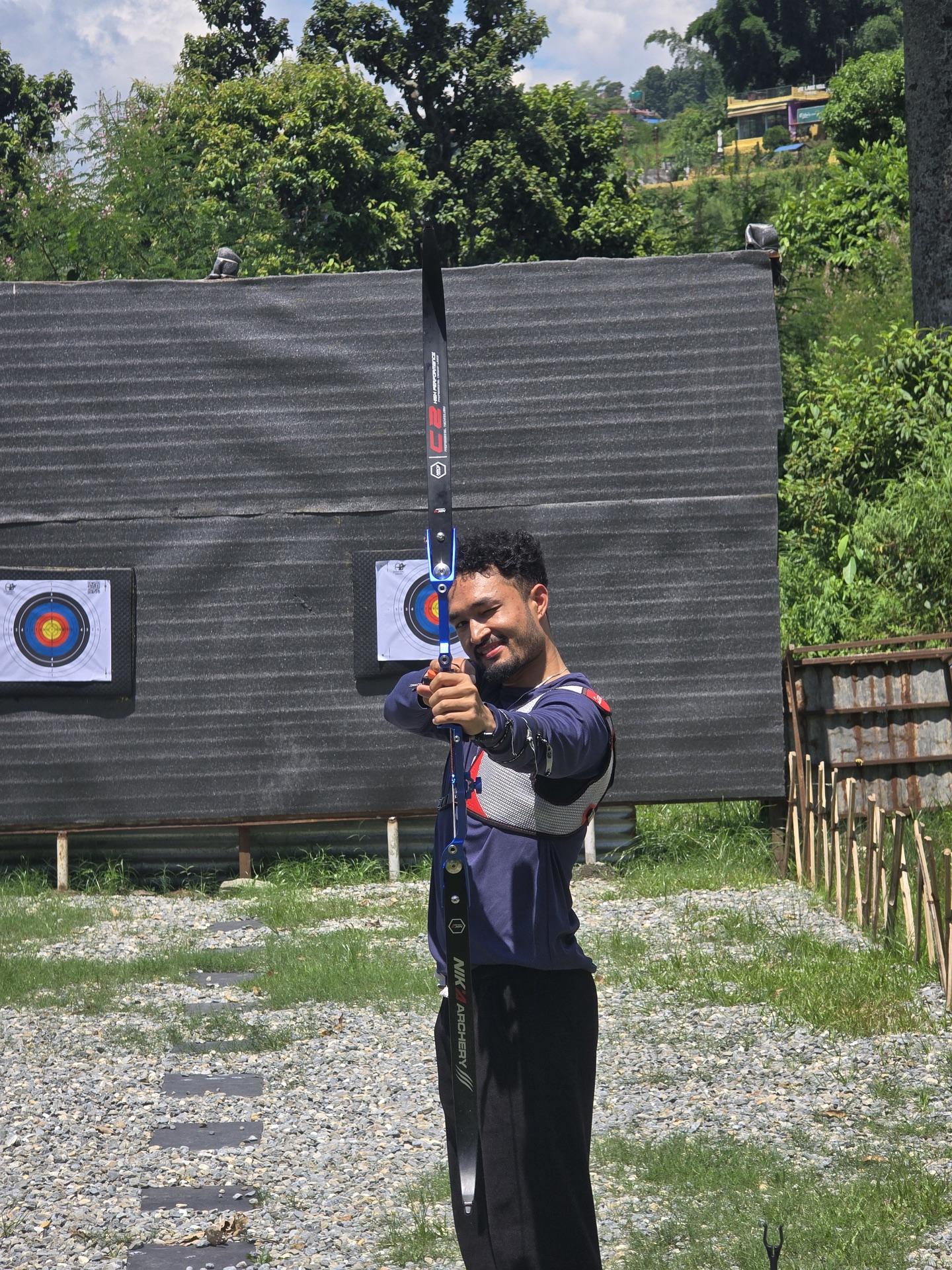
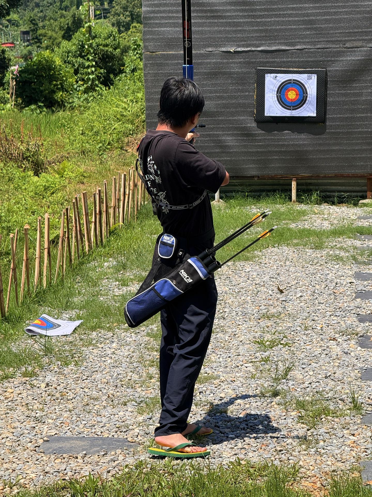
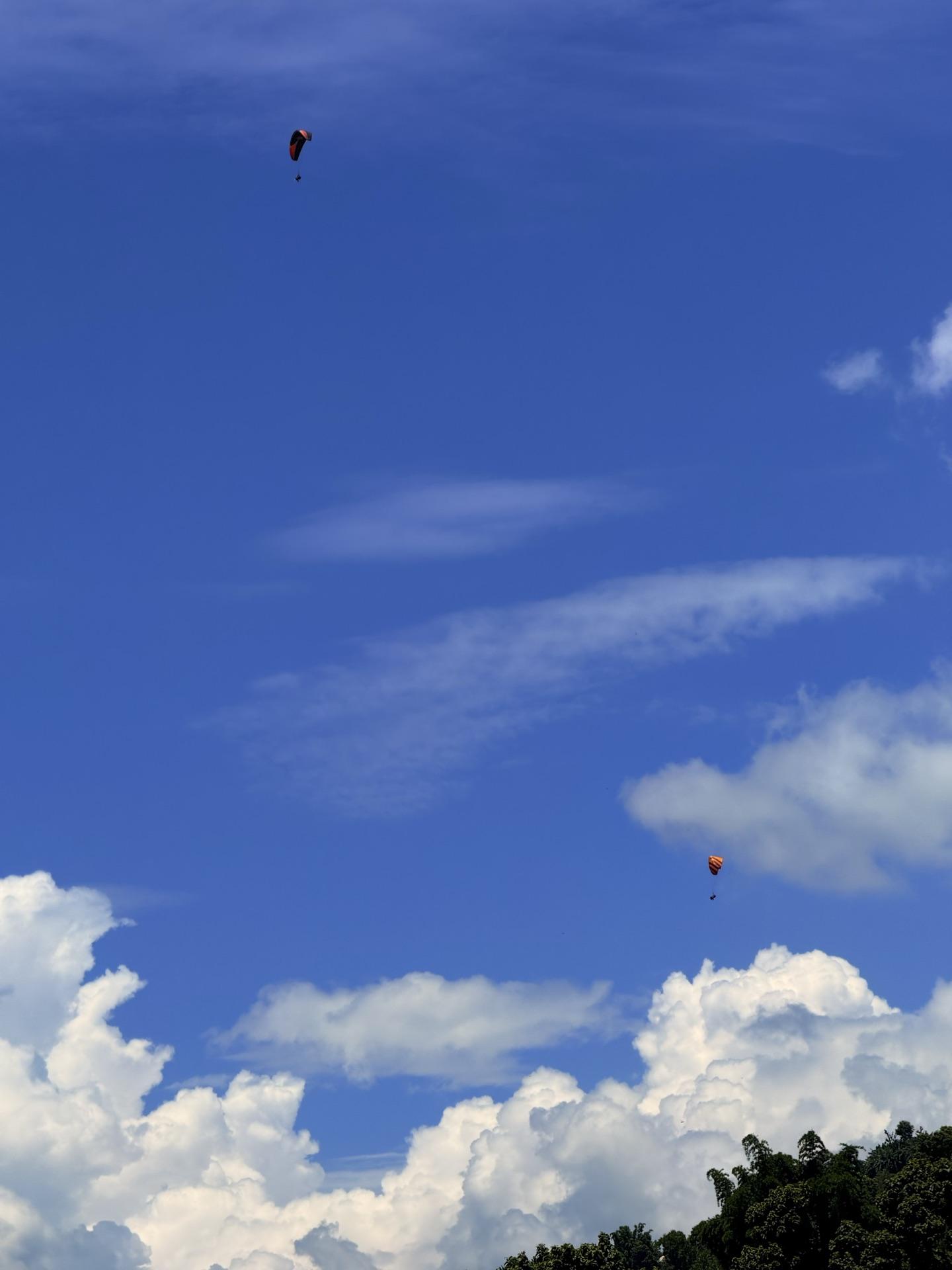
The whole time, paragliders kept crossing the sky above us, drifting down off Sarangkot like the town's screensaver. We watched, priced it briefly, and kept our money. Next time — the list of next-times was getting long anyway: the Dhaulagiri view, Tikadhara, now this.
Then back to the hotel for the bags and onto a van east at about one. The trip ended the way it began — five people folded into seats, the road doing its thing, everyone quiet in the satisfied way.
What comes back first isn't the meadow. It's the sounds. Cards hitting a table in a dark dining room. Rain on a poncho hood. Sheep bells inside the fog. A jeep bottoming out and the whole cabin laughing, because the alternative was worse. The view we technically went for never showed up, and I notice nobody ever mentions that part. We talk about everything else. Maybe that's the real measure of a trip: how little of it you needed to see to keep all of it.
As it happened
10:39 ten minutes of smooth road, finally
11:15 bows; one arrow starts its new life in the bushes
~11:45 paragliders drift down from Sarangkot
~13:00 the van east; the trip goes quiet
The ledger
friends5 — one also survived Panch Pokhari
the datessame four days as last year, by accident
night buses1 — Bhaktapur to Burtibang, sleep optional
hours offroad~4 up, 5+ down — the rain kept revising
distance, all modes~800 km — bus, jeep, boots, Hiace, van
reserve entryRs 100 each — the country's only hunting reserve
high pointBukipatan, ~4,000 m — view withheld
Tikadhara push2 went to 4,190 m; same cloud, higher up
horses rented5 — collective riding experience: zero
power cuts1 — cards by bottle-light
Hiace plans2 — one lost to rain, one kept by morning
strangers turned neighbors2 — one bound for Annapurna
kart minutes10 — Rs 699, the smoothest road of the trip
arrows lost1 — billed, like a trophy fee
final van~13:00 — Pokhara to home, everyone quiet